It's been a couple of years since Jack Quinlan suggested a trip to KOFA. It piqued my interest - how come there's something supposedly so awesome and so close to San Diego and I haven't heard about it?
Since then, we've made a few trips to this area, and I learned to love this corner of Sonoran Desert. As usual, I only learned of the name and its rich history afterwards - here's a "Cliff's version" of it.
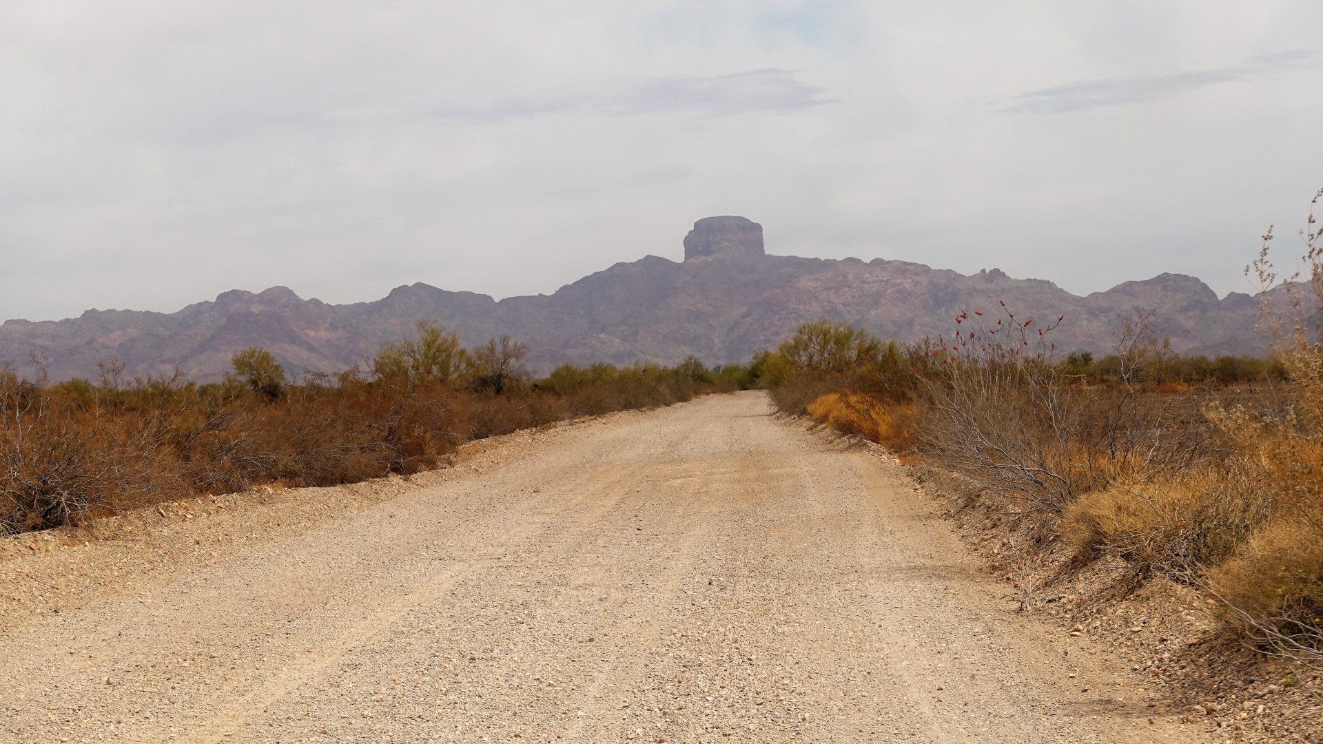
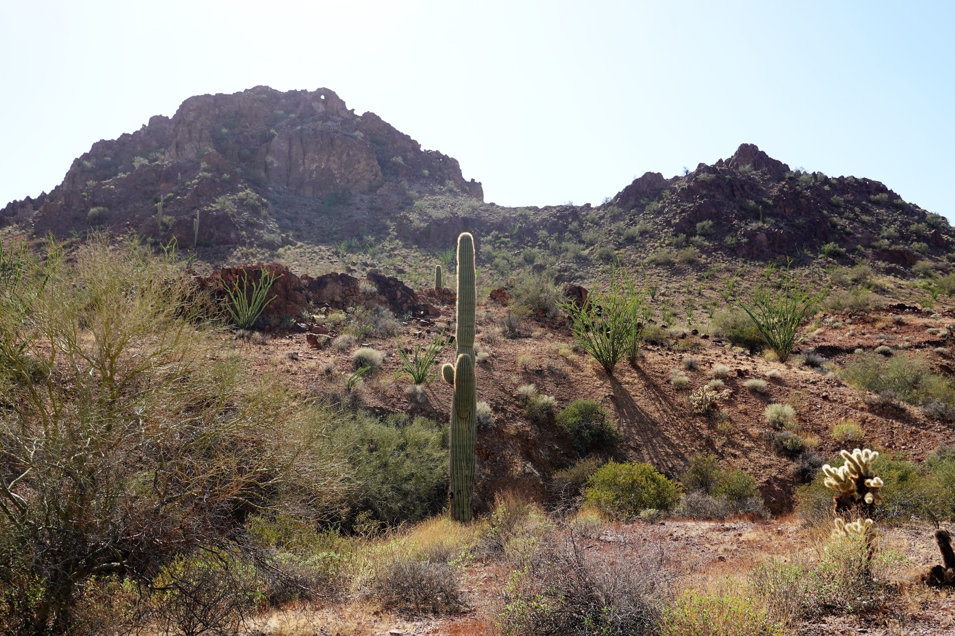
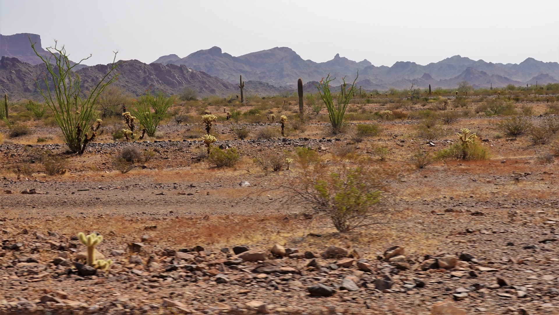
If you are on the U.S. 95, roughly halfway between Quartzsite and Yuma, Arizona, you might spot a knob of a mountain east of the road. I've driven past this peak many times somewhat amused by its shape, but not enough to inquire about it.
This knob is known as a Castle Dome Peak. In its foothills, there are numerous signs of mining activity going back to indigenous people, who carried the ore a long way South to the banks of the Gila River for processing. Around 1860s, the prospectors started arriving to the area - enough of them to fill steamboats sailing down Colorado river. Mining camps arose, and some of them large enough to become towns. In 1863, one Jacob Snively arrived to the area.
What a colorful character Snively was. Born in 1809 in Pennsylvania, he studied to be a surveyor and an engineer. 1835 he surveyed land in what was then Mexico and later became Texas, and earned his own land grant. Texas Revolution launched his military career, which included both official army duties and bouts of vigilantism. California Gold Rush of 1849 put an end to his armed escapades, and he spent nearly a decade prospecting for gold in California and New Mexico Territory. He discovered gold near Gila River east of Fort Yuma, which left behind a town of Gila City. Later, moving North from Gila City, he was involved in the discovery of silver and lead ore in the foothills of Castle Dome peak. In 1863, he joined forces with another former Texas soldier and prospector, Hermann Ehrenberg, and established Castle Dome mining district. With establishment of Arizona Territory, Snively was appointed a judge, and his affairs somewhat mirrored the fortunes of the Castle Dome mine - where, besides silver, extensive copper-lead deposits were found. Mining near Castle Dome was a complicated affair, full development delayed by several years due to hostilities with the Native Americans.
Not one to kick back and enjoy the quiet, Snively was killed by Apache Indians in 1871 on his way to prospect near Wickenburg, Arizona. The mining camp he left behind became Castle Dome City, with a post office opened by the end of 1875. At some point, its population exceeded that of Yuma, and the mining district counted more than 300 mines.
The boom faded quickly - but the mining activity continued. Over the years, the mining district produced nearly 10 thousand tons of lead, 15 tons of silver, 33 tons of copper, 34 tons of zinc, and about 300 kilos of gold - mostly by the turn of the 20th century. The mines were reopened during the World Wars I and II due to the demand for lead. The final blow came in 1978, the mines were shut down and all permanent residents gone.
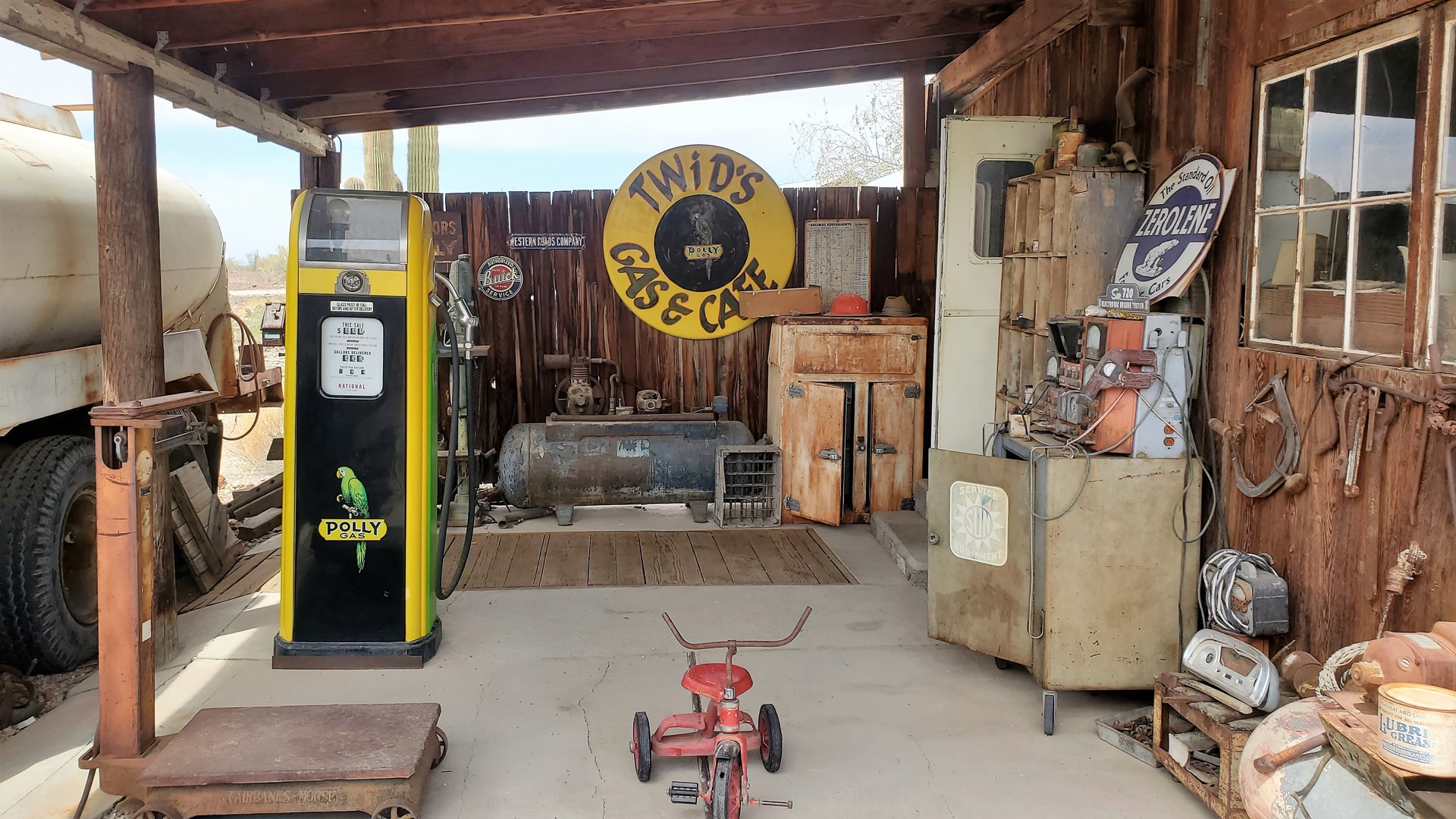
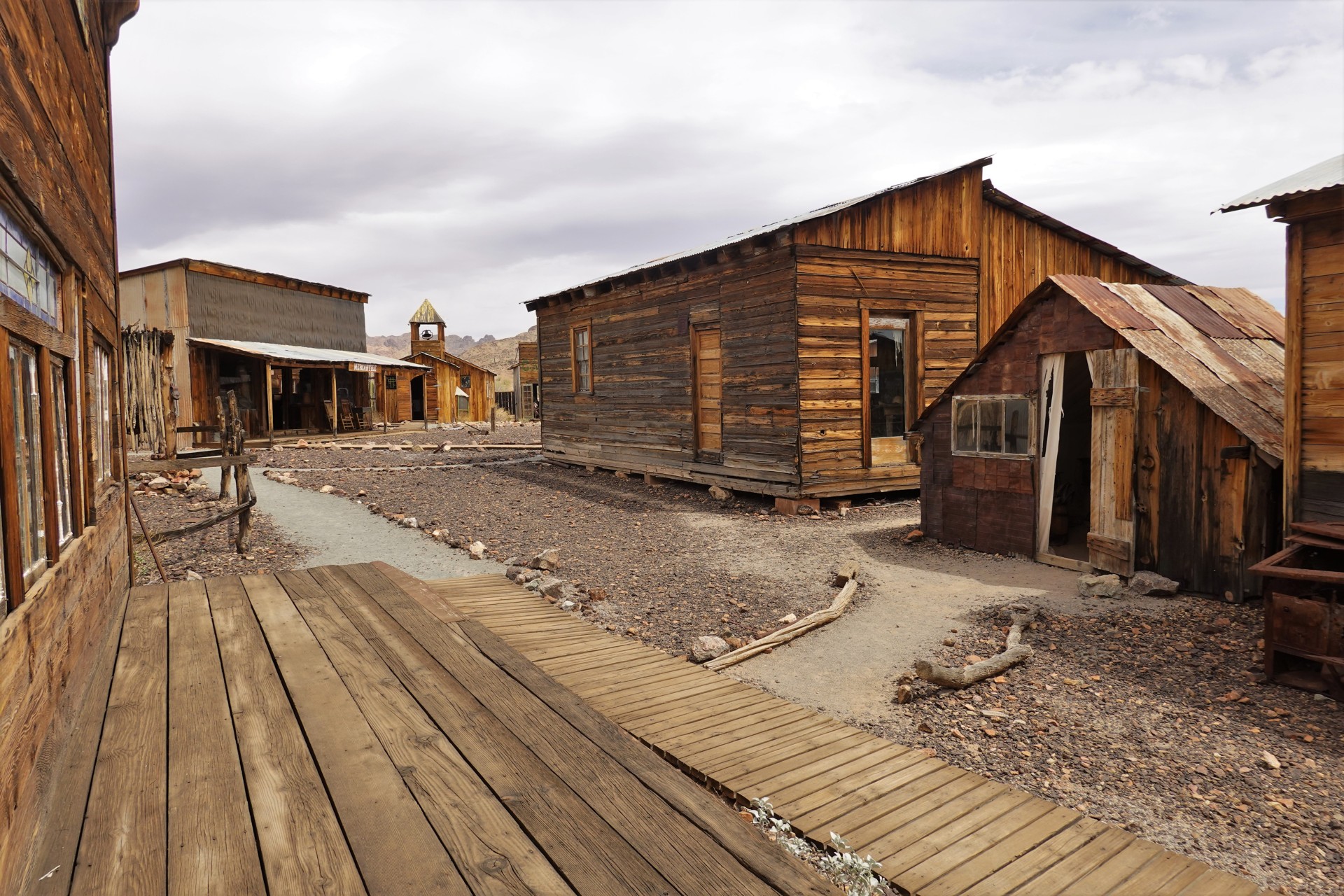
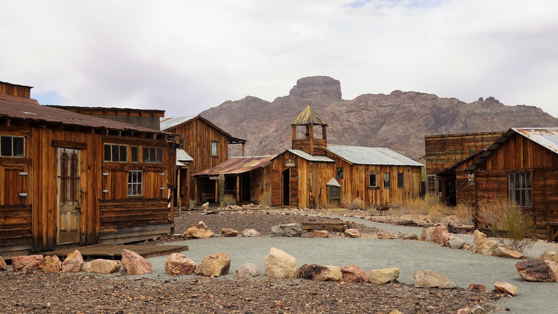
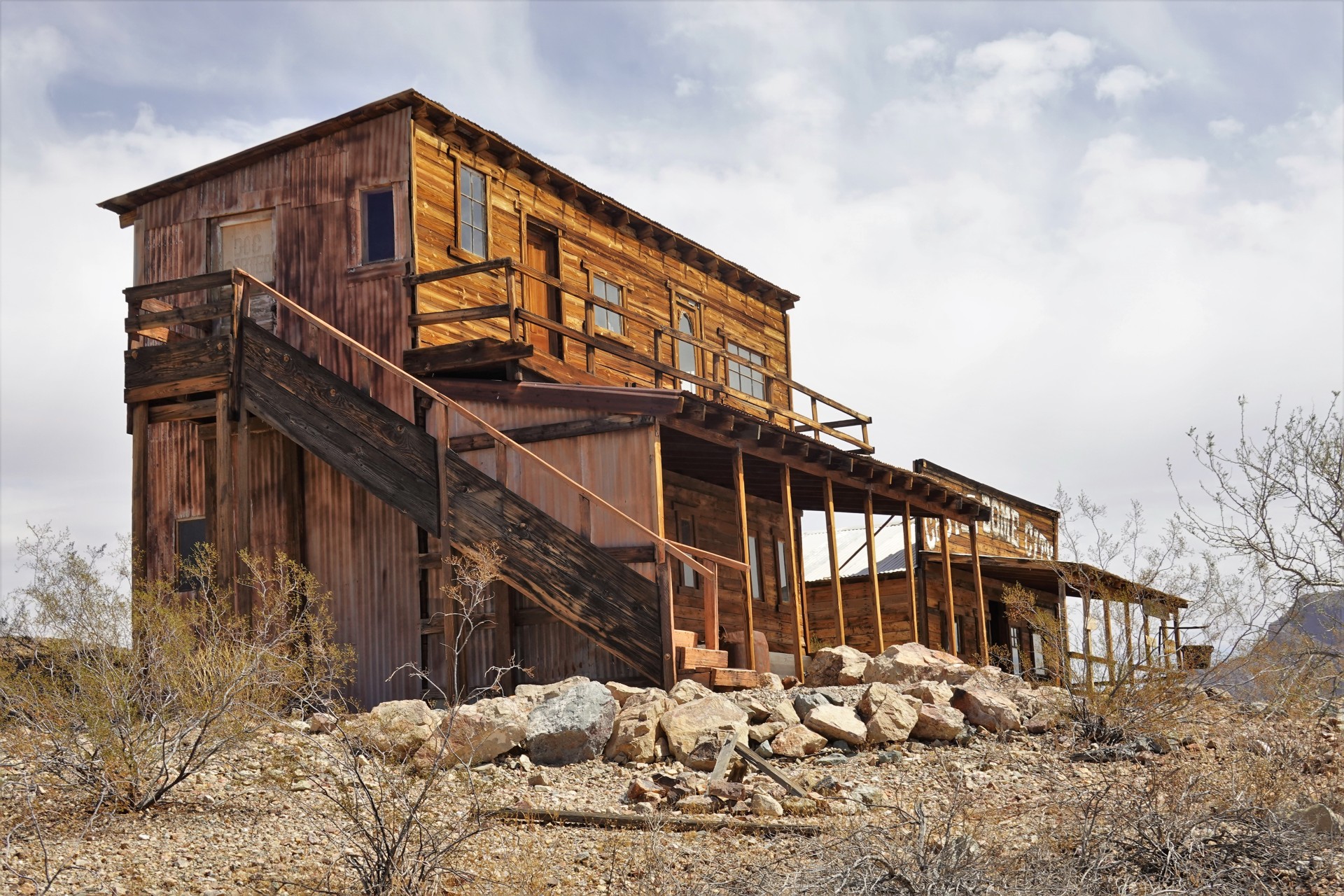
Whatever was left of Castle Dome City was purchased by Armstrong family in 1994, who turned it into the Castle Dome Museum.
The range of Castle Dome Mountains can be crossed North of the peak via a scenic McPherson pass. The road then descends into the vast King Valley.
In this valley, Charles Eichelberger discovered high-grade gold ore in the foothills of Stone House Mountains. With the backing of a couple of Arizona railroad barons, the King of Arizona Mining company was formed. The story has it that the gold bars produced by the company had a stamping "K of A" - which became an official name of the Kofa town in 1900. The mine continued to operate for a decade, during which the equivalent of $3.5 million in gold and silver bullion was produced.
The mining activity proliferated in the mountains nearby - with camps and towns coming and going, yet producing several millions of dollars' worth of silver, lead, copper, and gold. King of Arizona Mine ceased operations in 1939. Later, some of the mines were reopened in the middle of 20th century to produce tungsten and manganese ores. By then, the Stone House Mountains name was forgotten and firmly replaced with Kofa Mountains.
In 1939, with the conclusion of mining activity at King of Arizona, the land was set aside as a wildlife refuge, to keep the bighorn sheep from extinction. The land was named Kofa National Wildlife Refuge in 1976. Today, the refuge counts over 665 thousand acres (over 1000 square miles, or 2693 square kilometers), making it larger than the entire state of Rhode Island, or the Hawaiian Islands of O'ahu and Kaua'i combined. More than 80% of this territory is designated a Wilderness area.
"They say" there's a lot of wildlife in the refuge - I'd love to regurgitate some of the factoids, but personally I have only seen a few hawks, a lot of chipmunks, and a few jackrabbits.
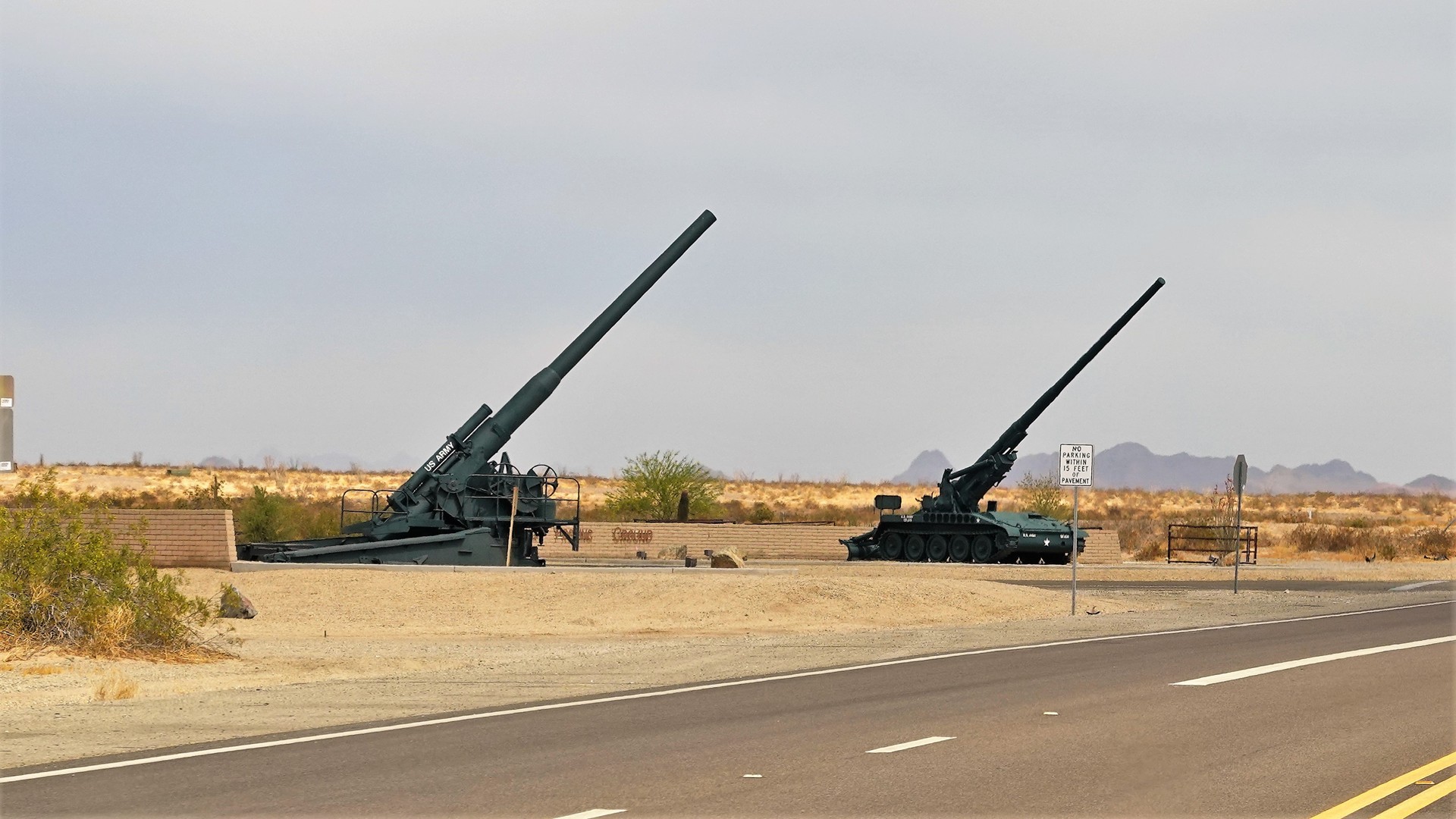
I can only write off not knowing about Kofa to general laziness and lack of enterprise on my part, especially since I was very familiar with the U.S. Army Yuma Proving Grounds that borders Kofa on the south, and other military installations in the southwestern Arizona.
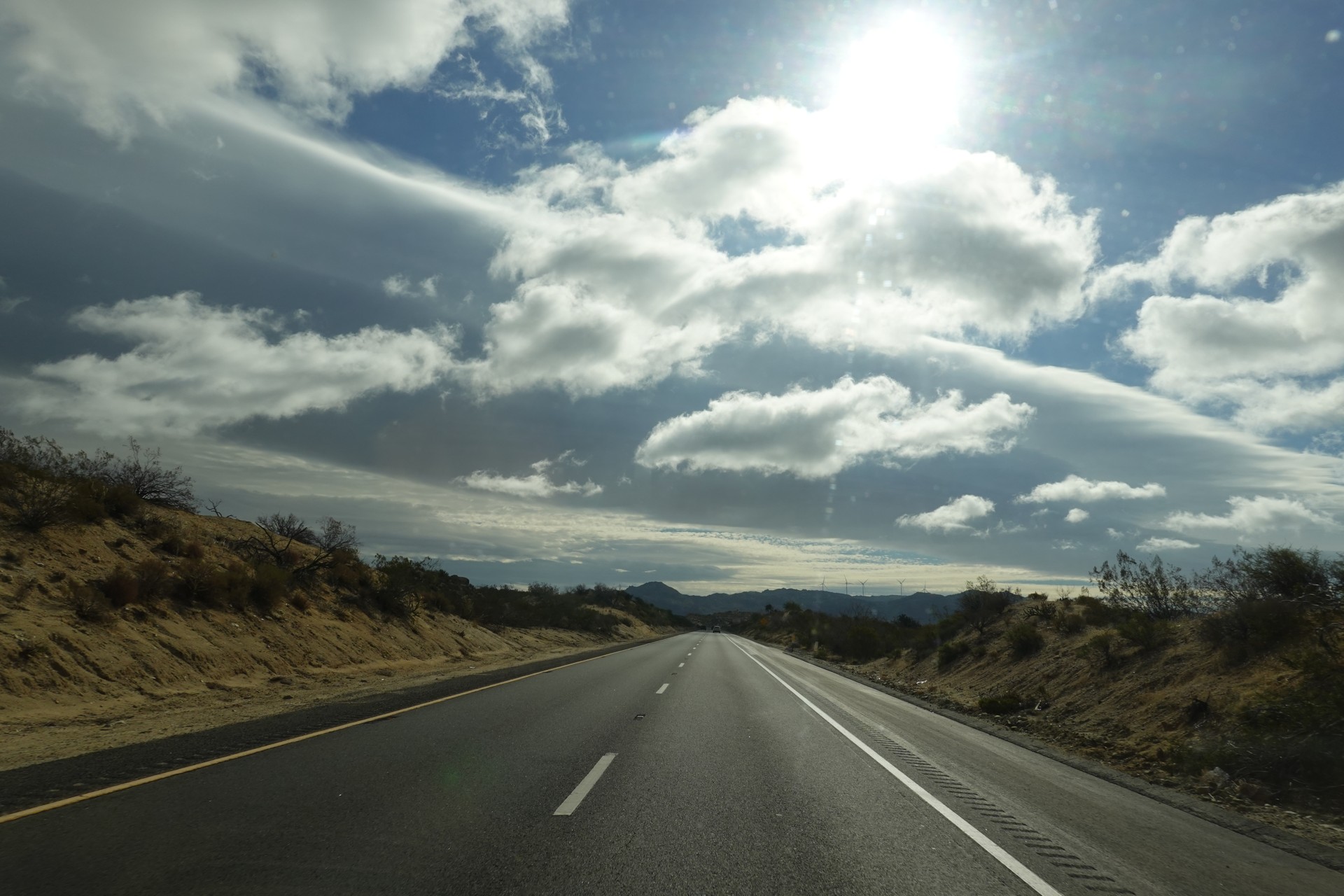
Kofa is about 200 miles away from San Diego and can be reached in under 3.5 hours of leisurely and scenic travel on the Interstate 8. It is barely an hour farther away than our "backyard" of Anza-Borrego Desert, and twice closer in time than Death Valley. For me, it was an easy suggestion to the Land Rover Club of San Diego to deviate from our usual weekend trips and explore a different desert.
San Diego to King Valley
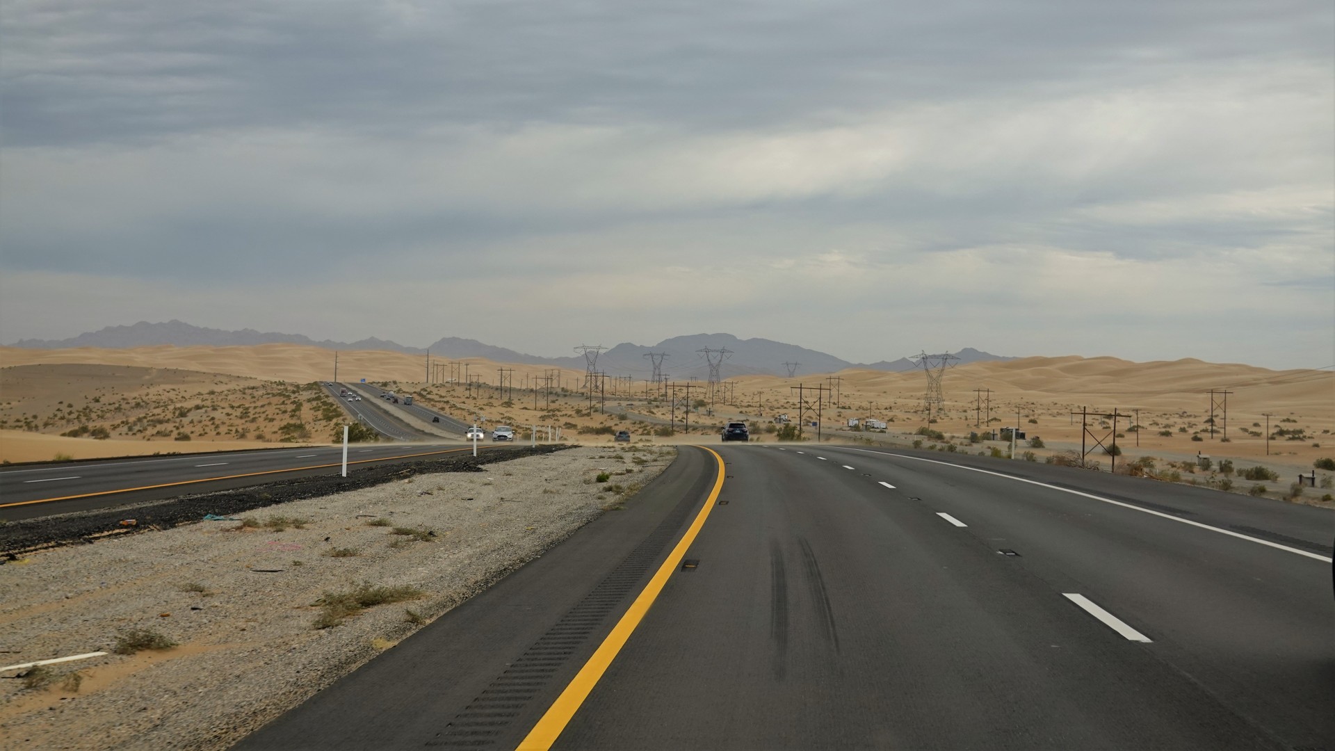
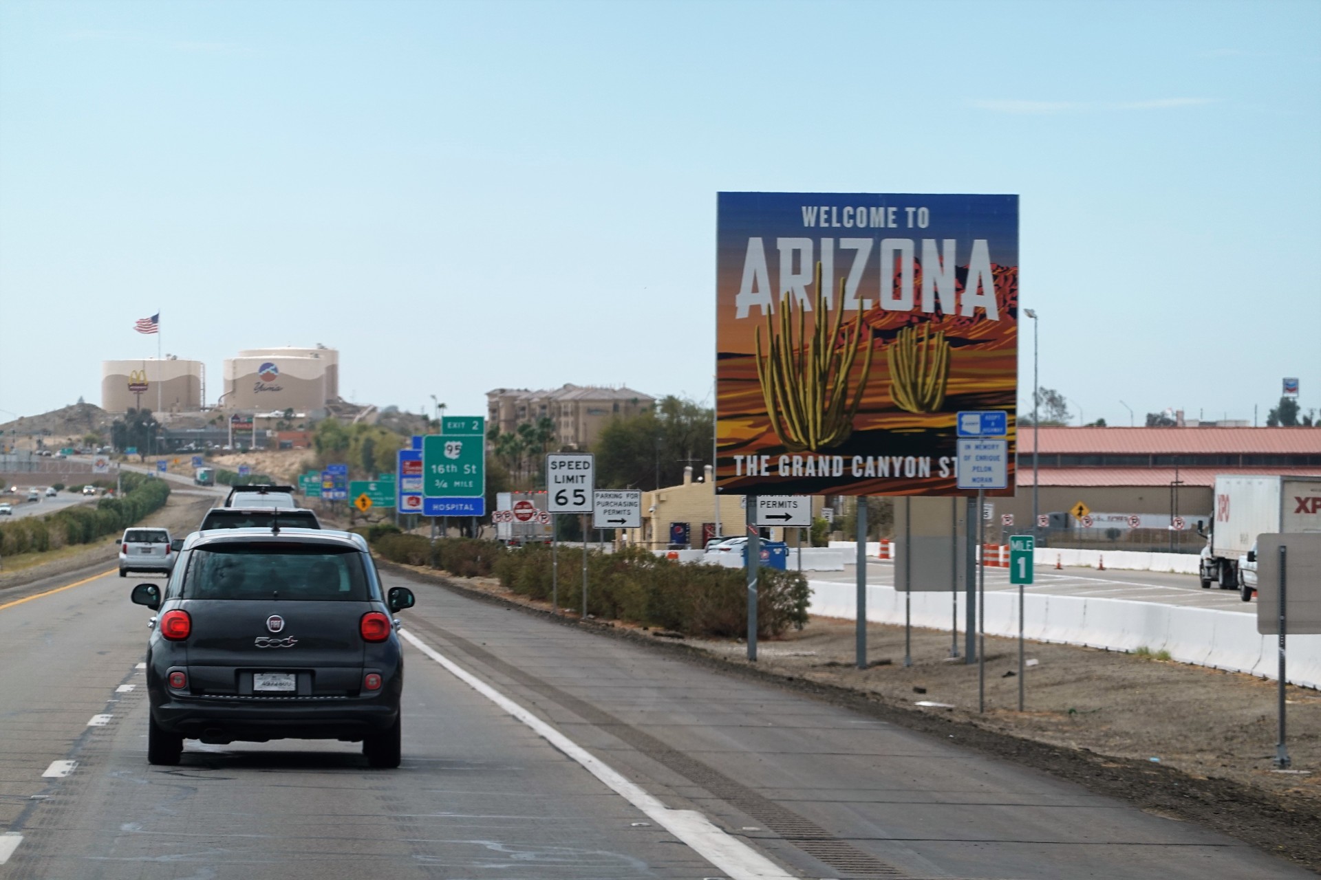
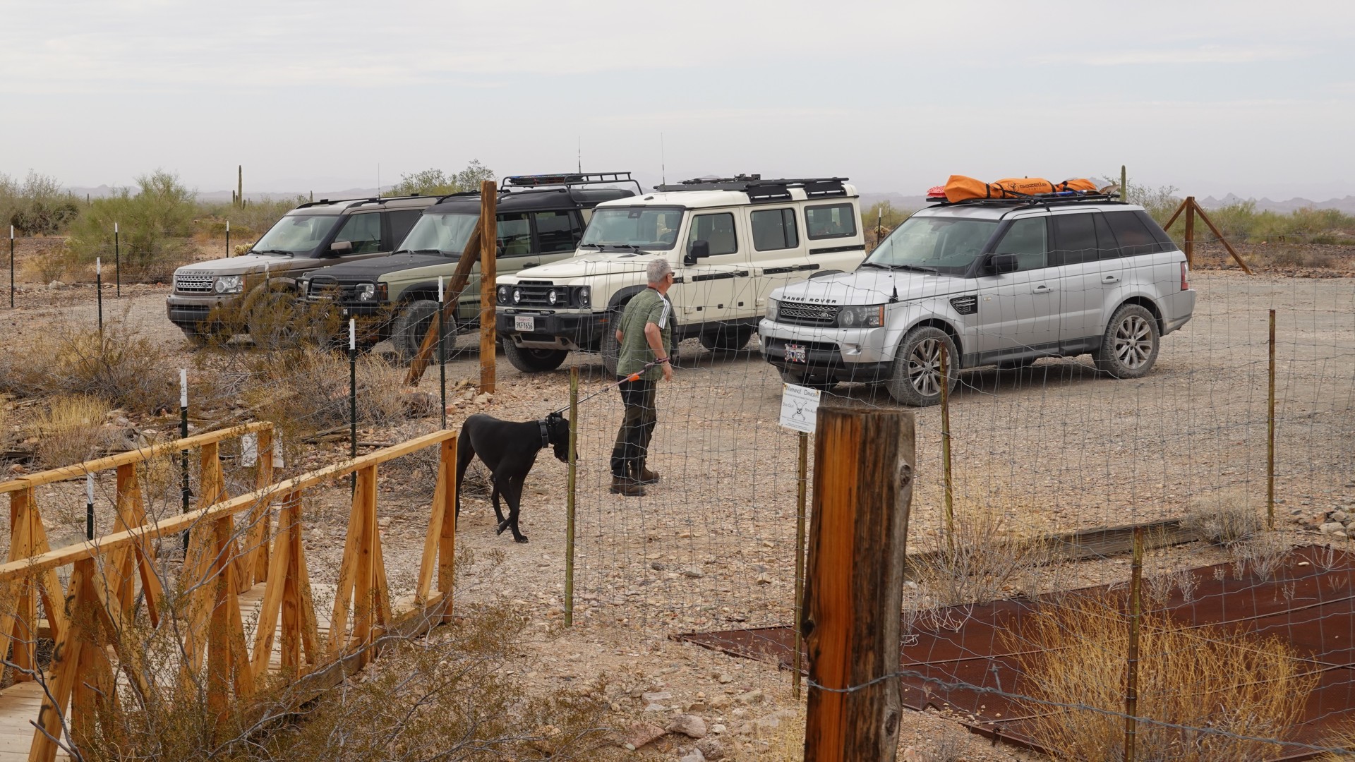
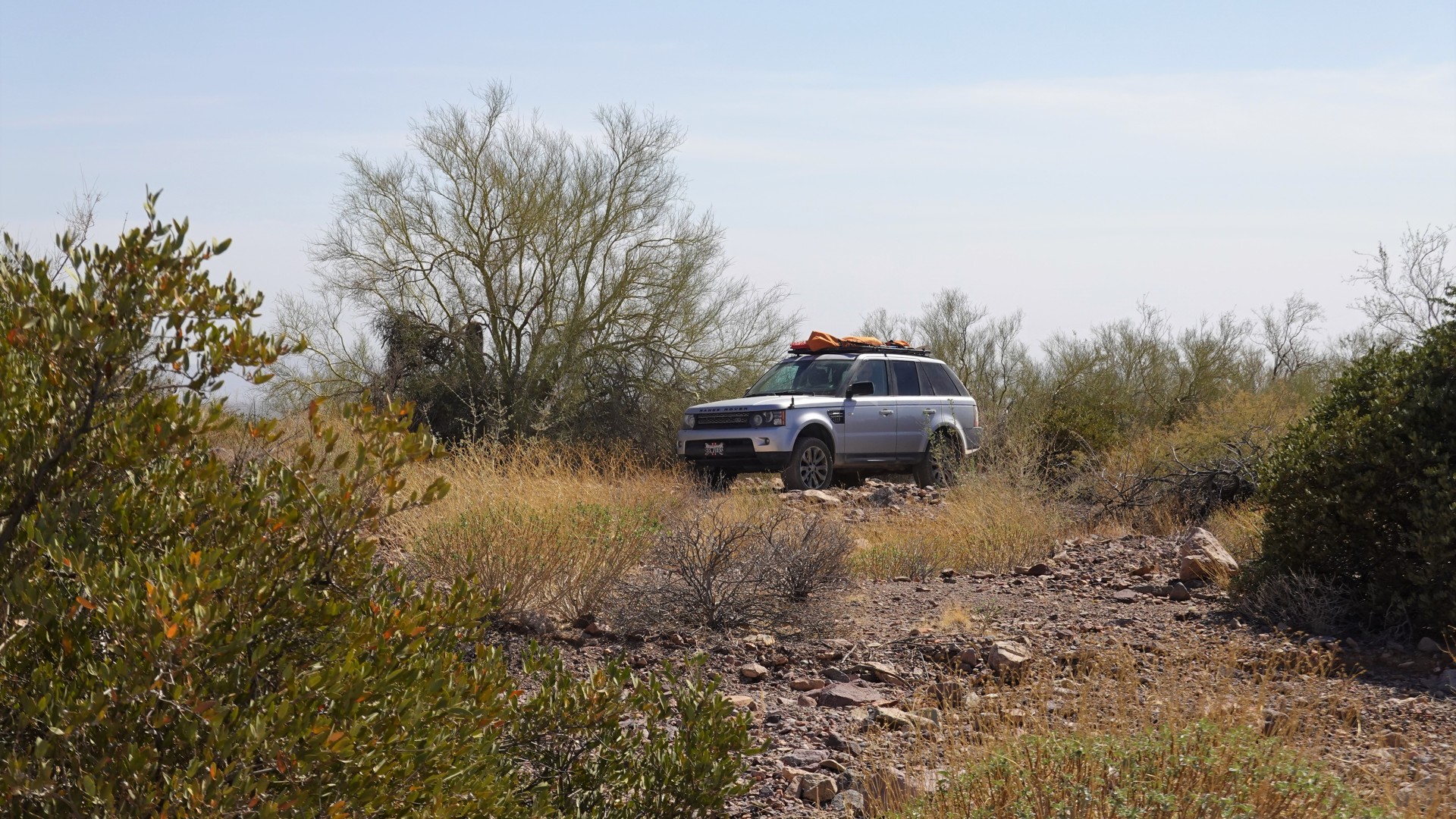
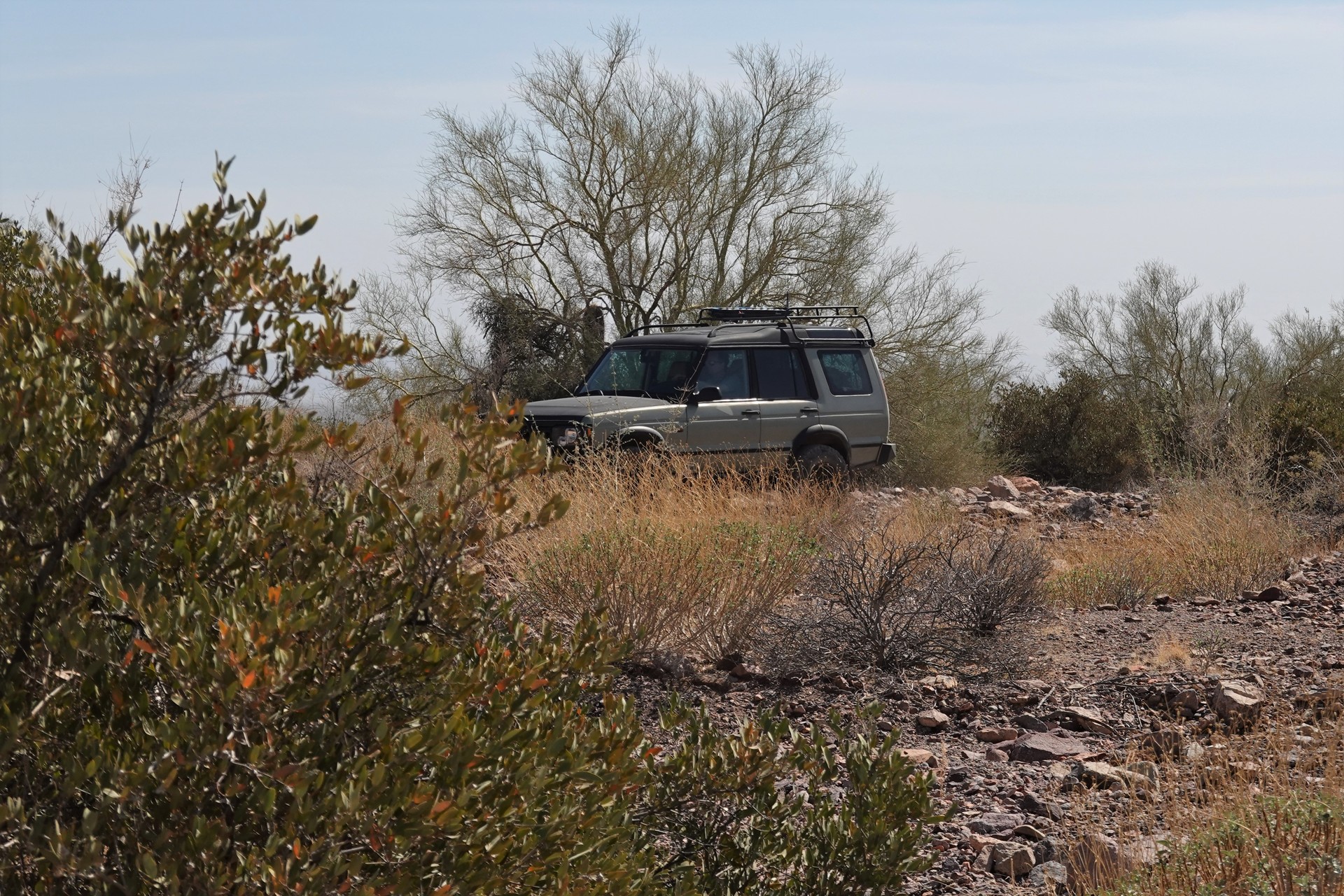
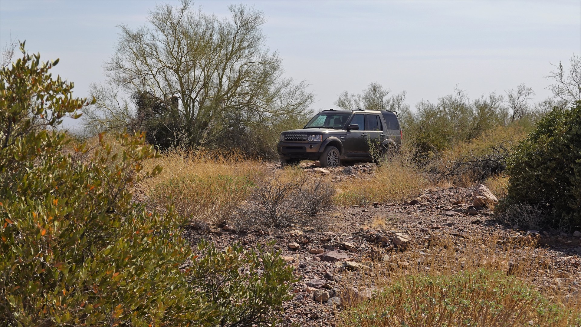
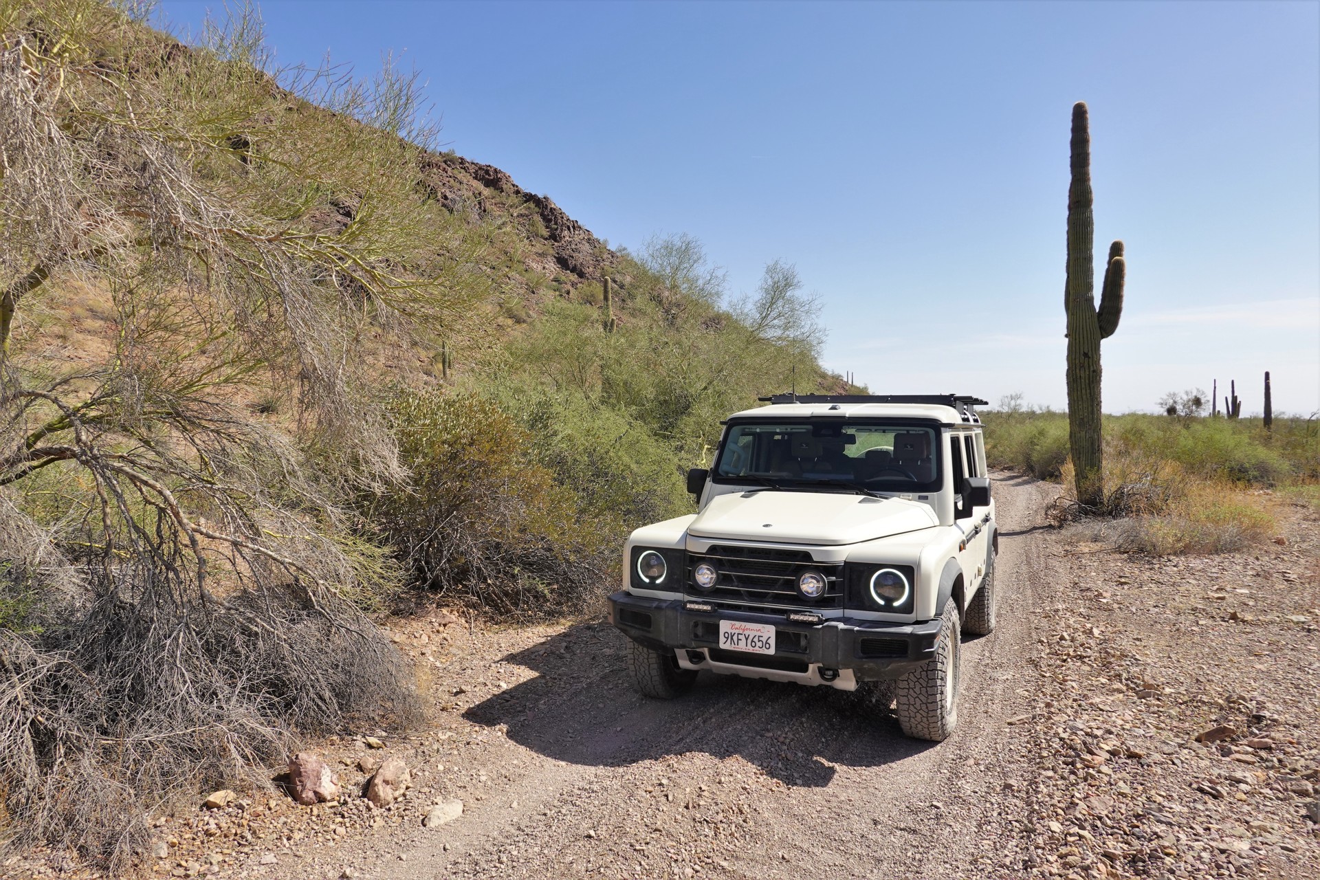
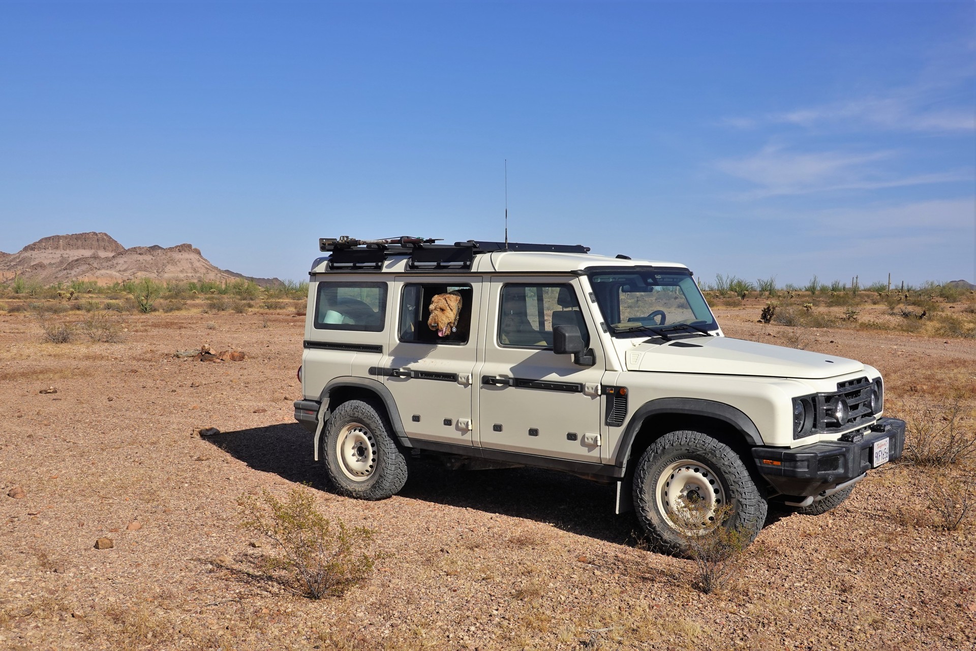
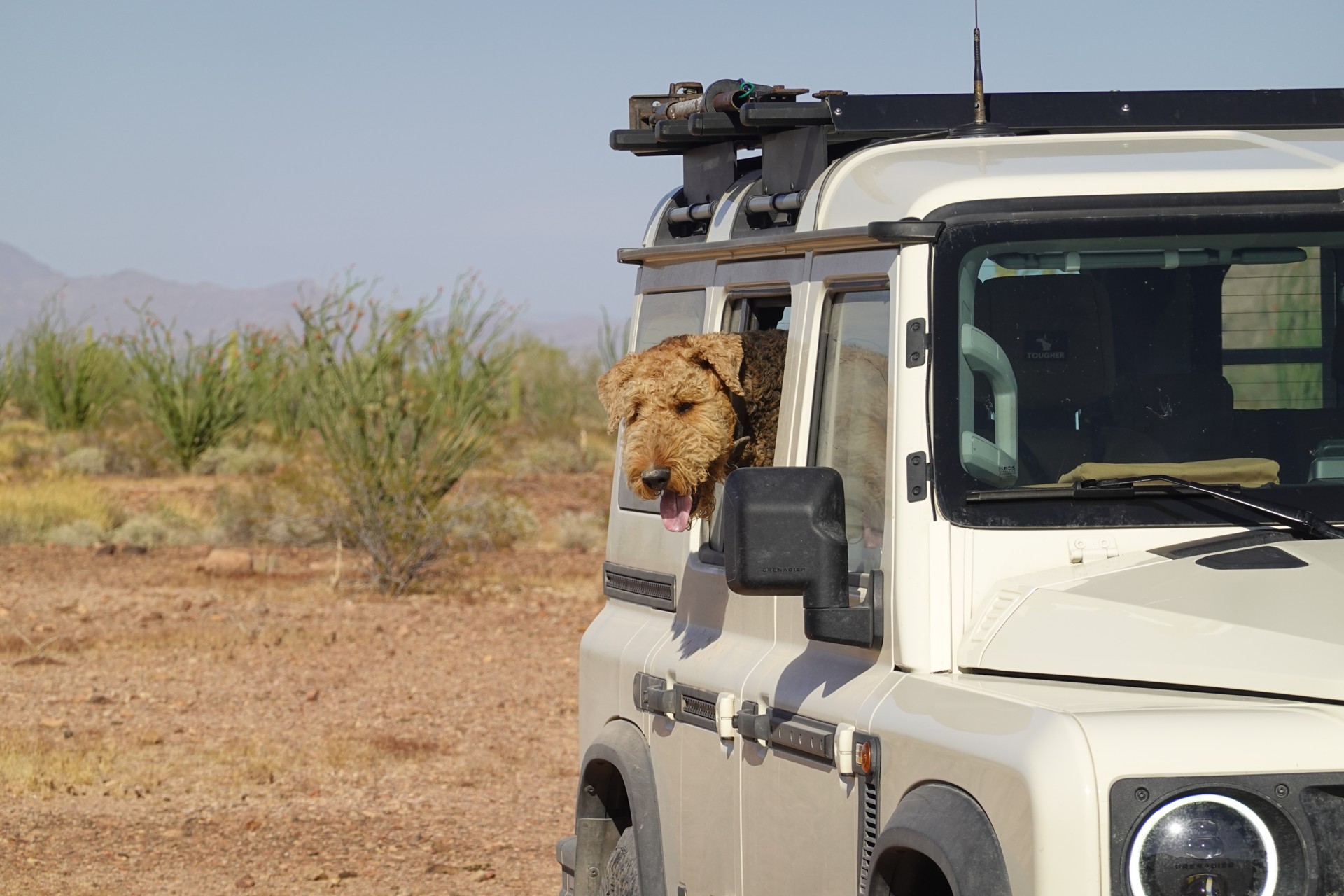
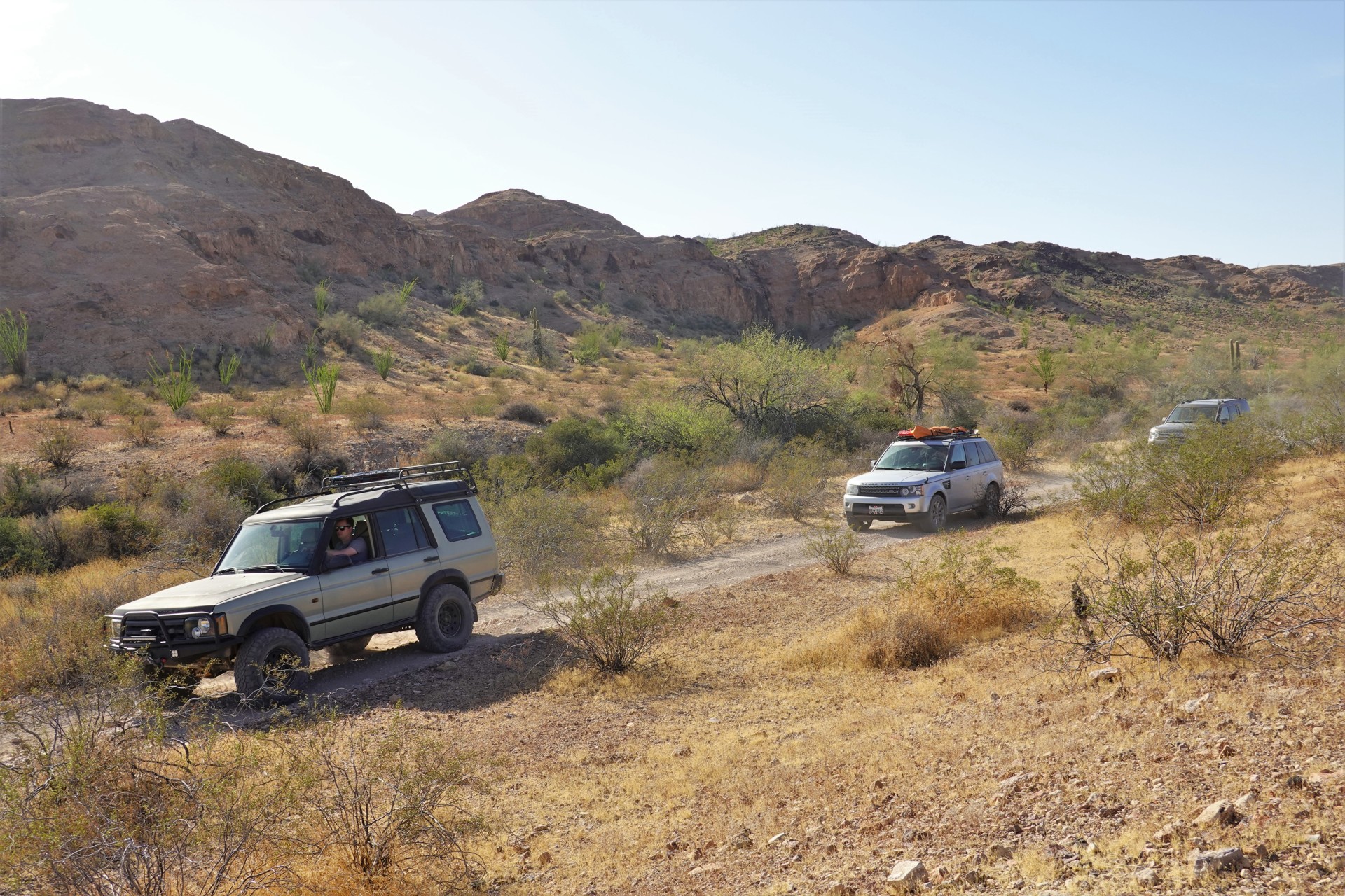
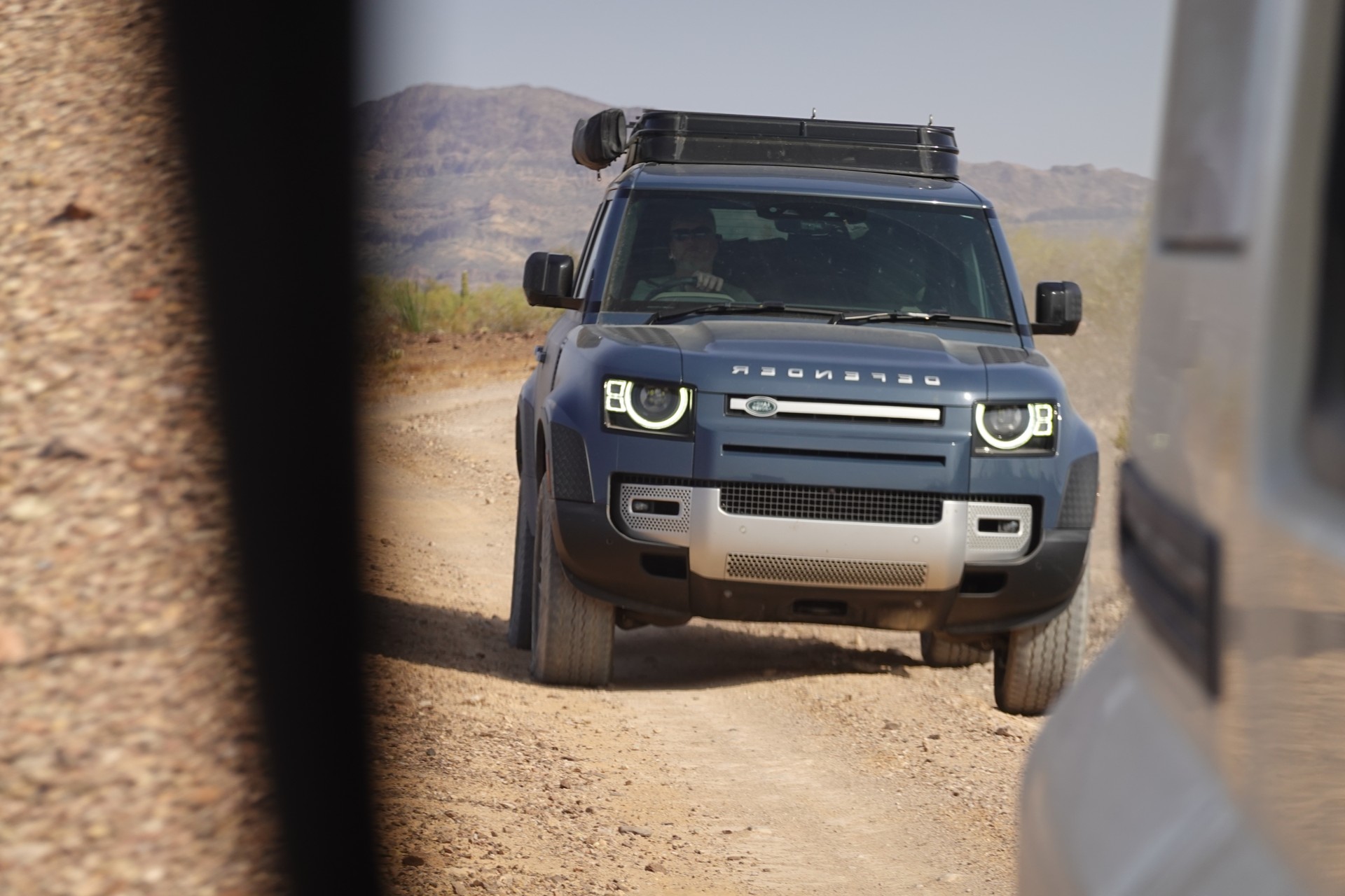
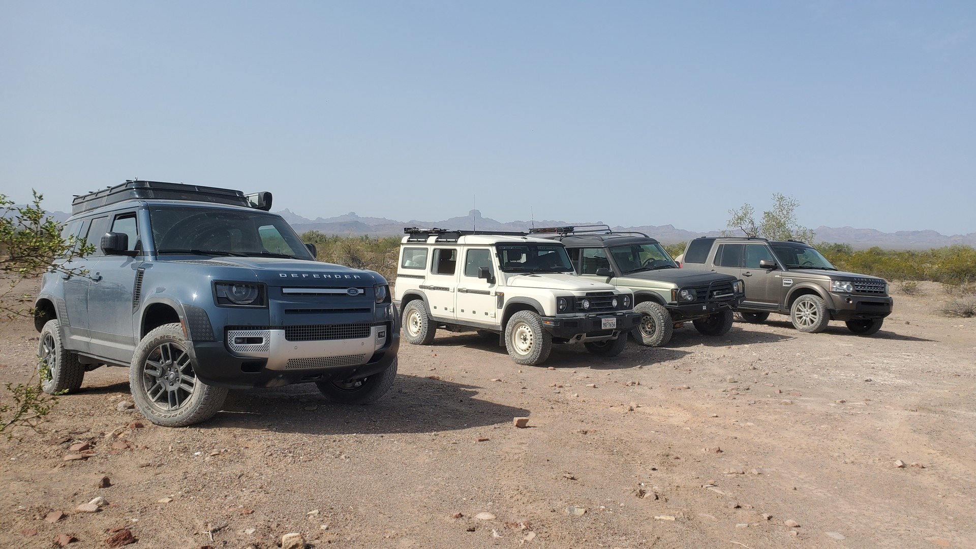
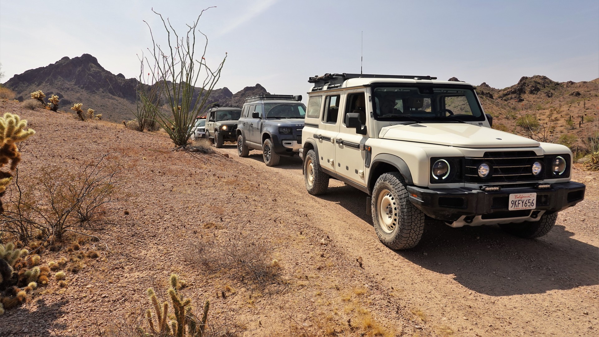
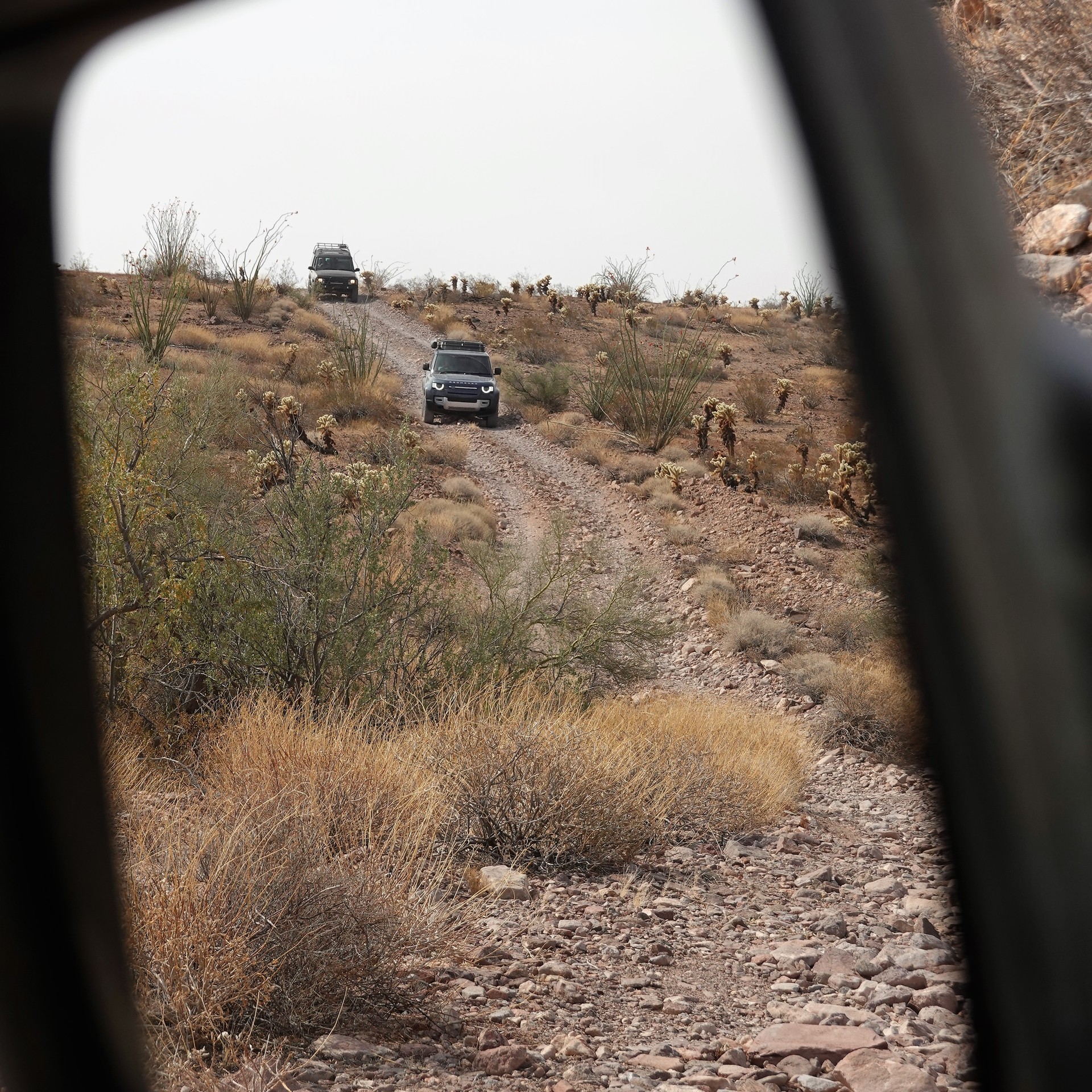
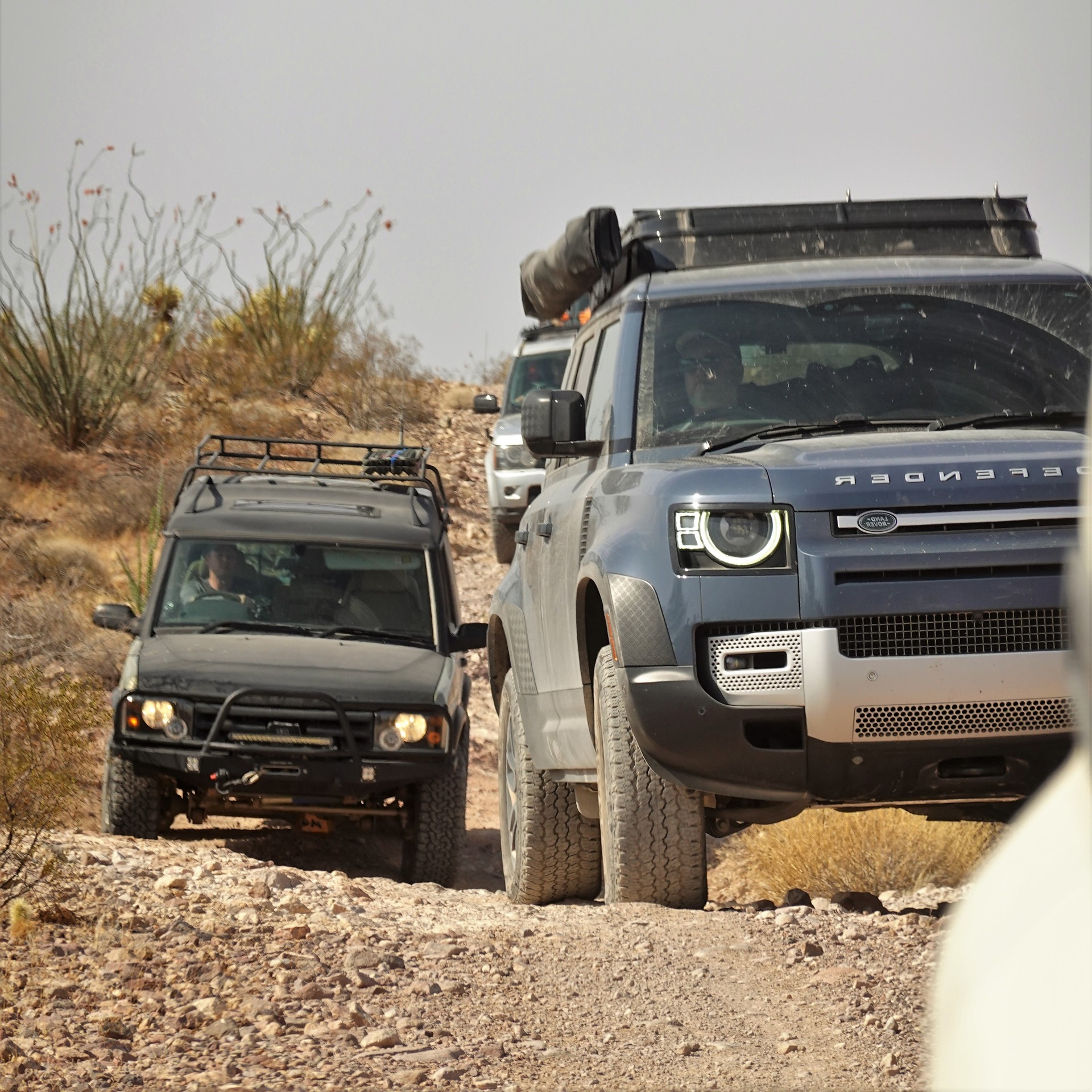
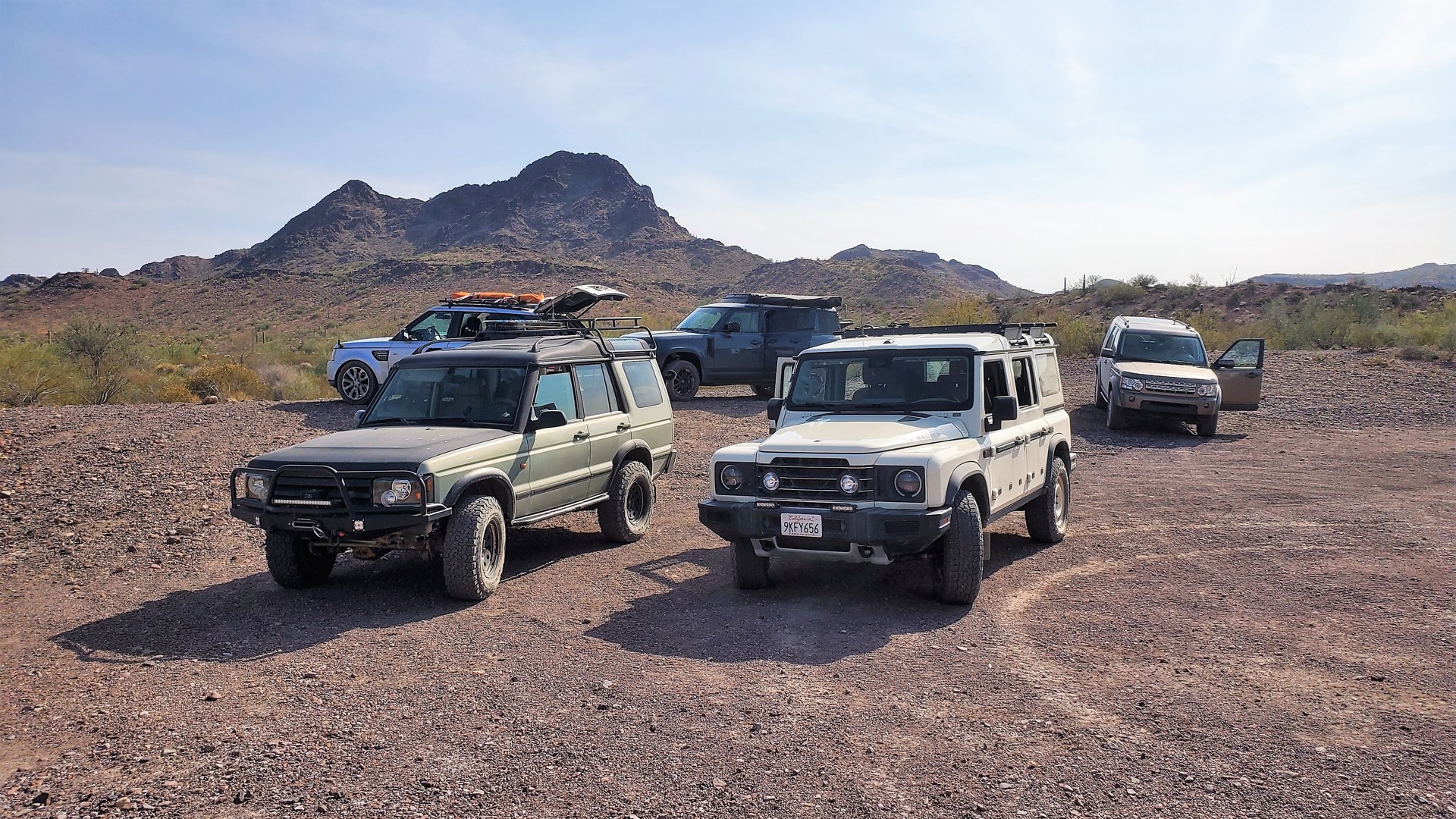
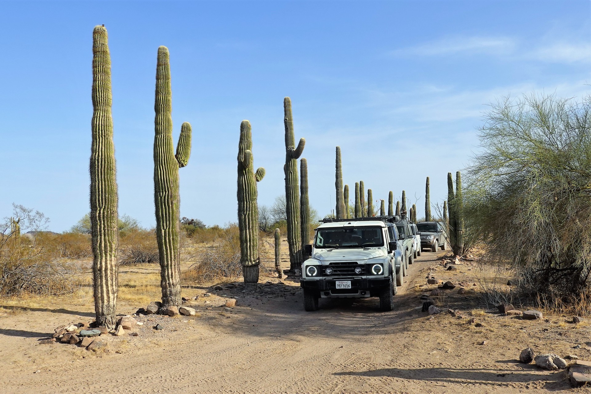
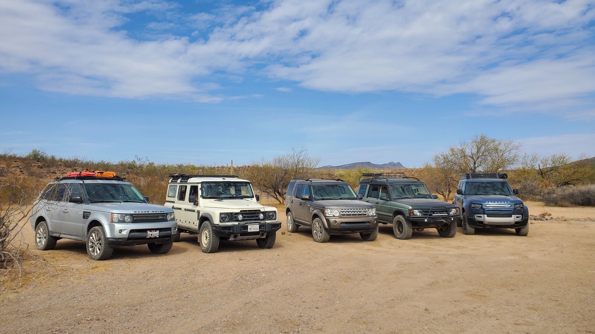
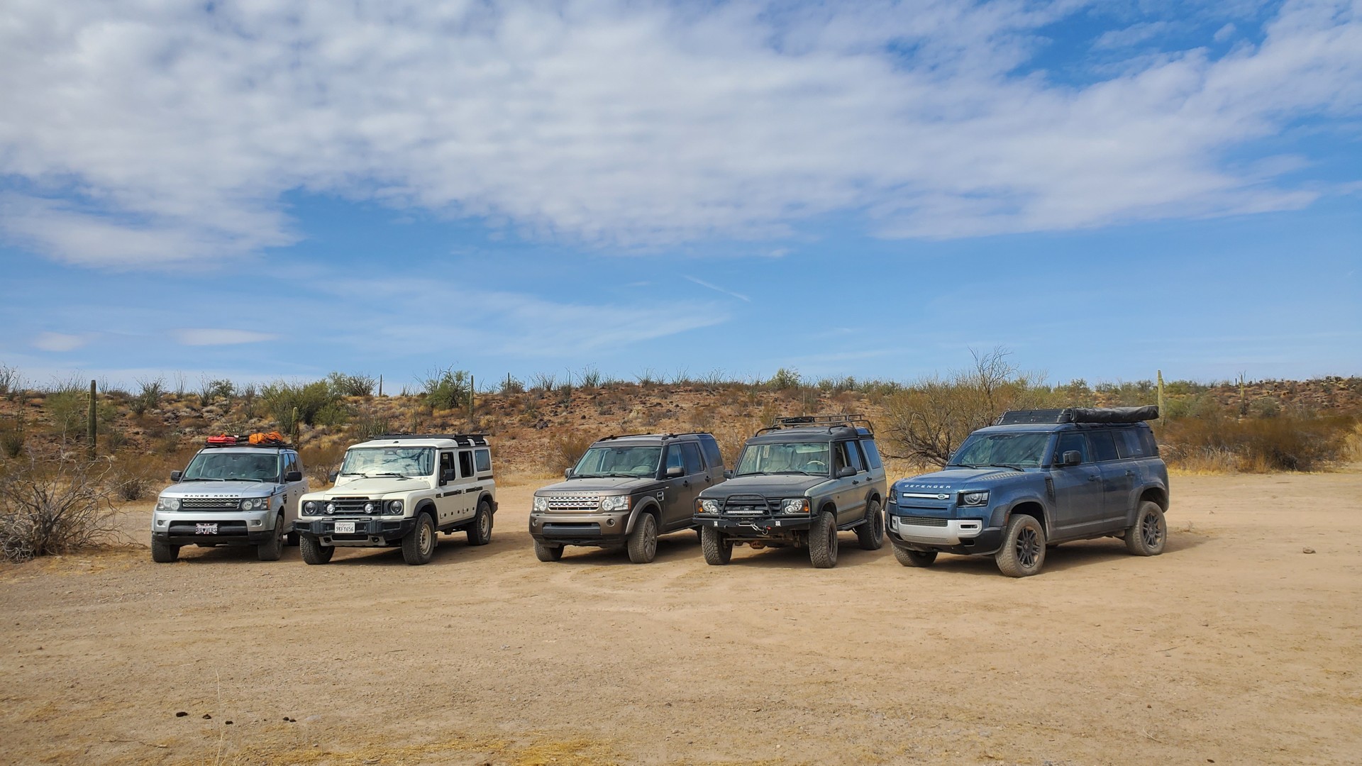
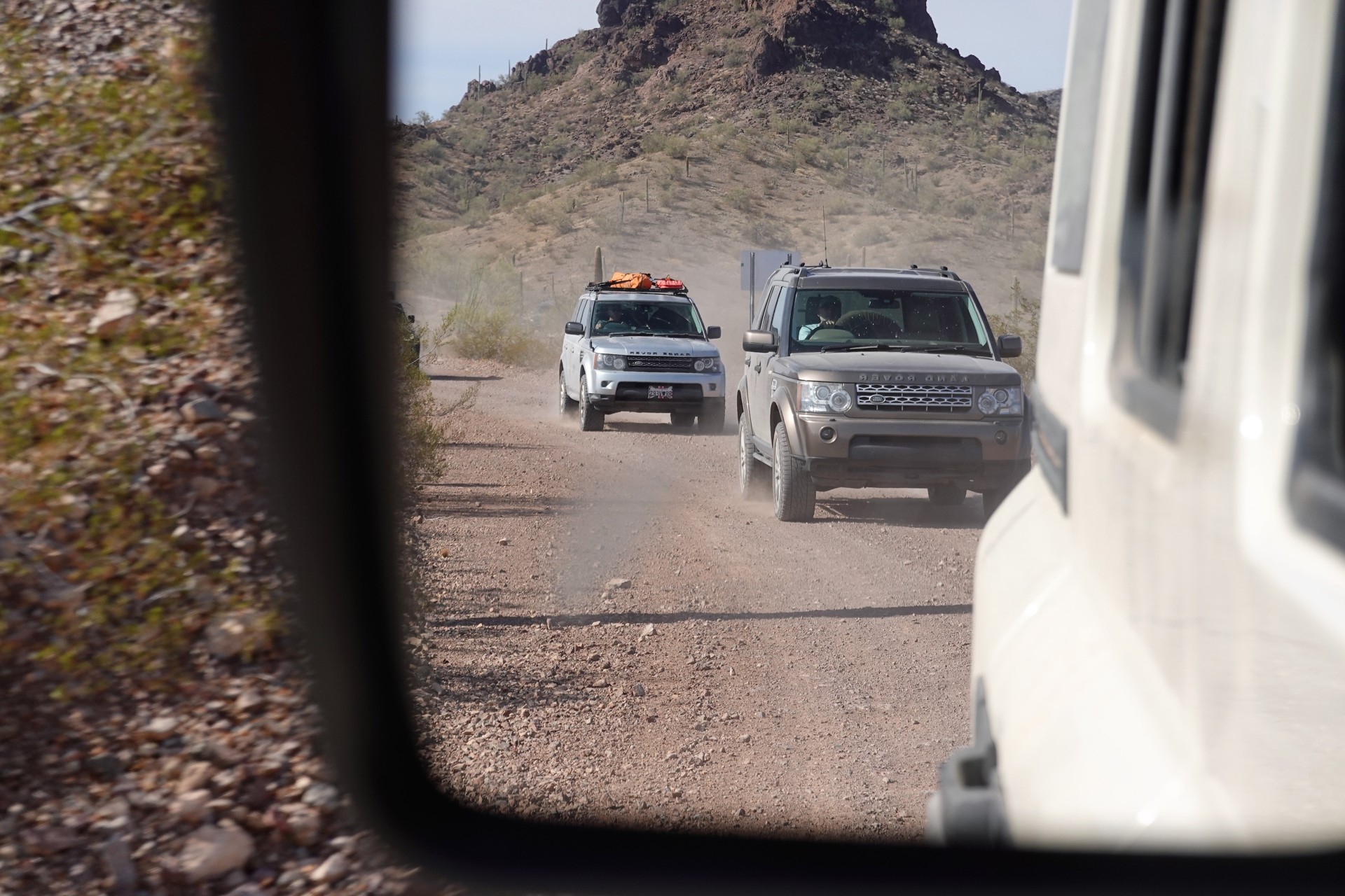
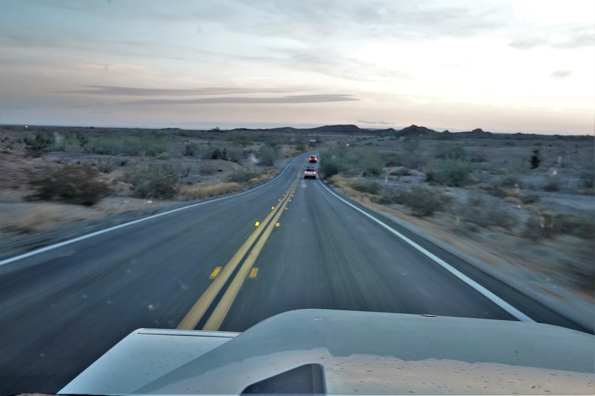
Four of us meet at Buckman Springs Rest Area off Interstate 8 on a Friday morning - one fresh Grenadier, one Land Rover LR4, one Range Rover Sport, and one Discovery 2. All of us have spent a lot of time and miles in the desert, so we have - or think we have - all we need for a three-day trip, except for gas. That we replenish in Yuma and hit Castle Dome Mine Road not even half an hour later.
 |
 |
 |
 |
We do stop to air down - Grenadier and Discovery go from 45 to 26 psi, but low-sidewall tires on late-model Land Rovers stay put up. We'll have some time and reasons to discuss this later.
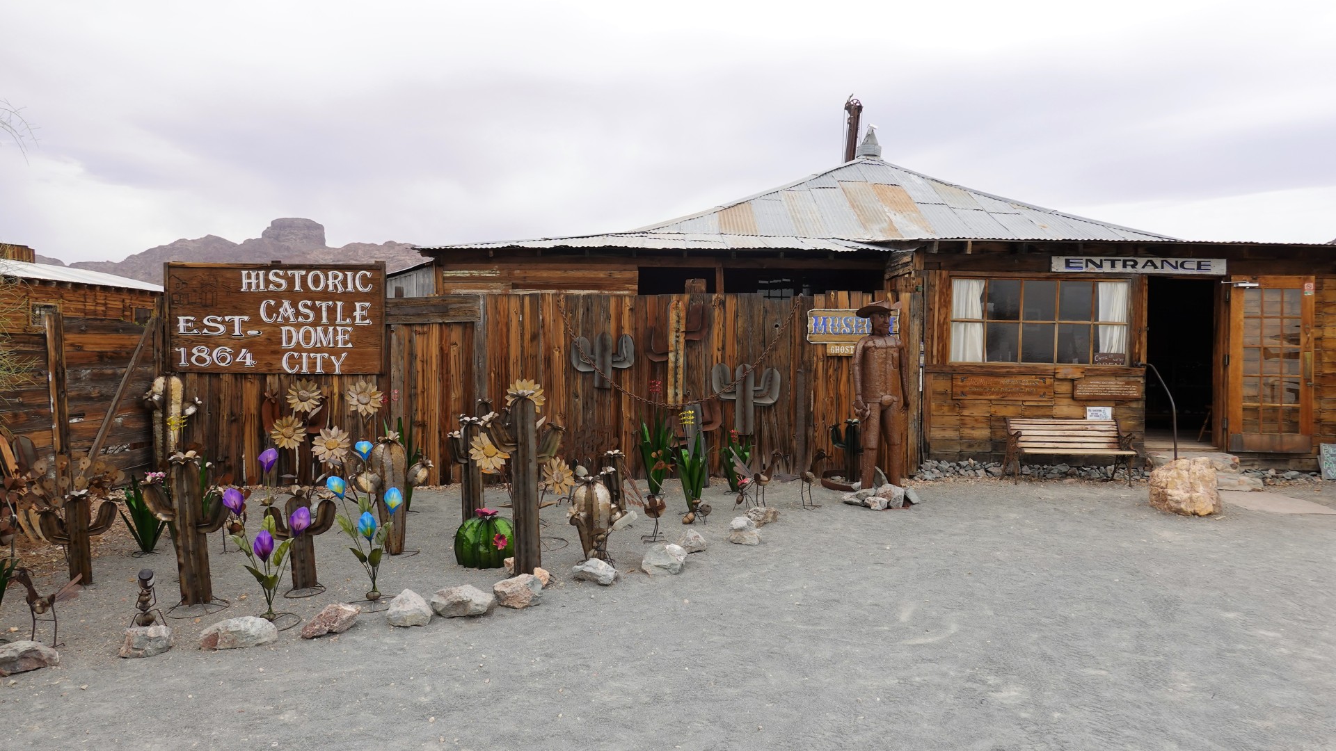
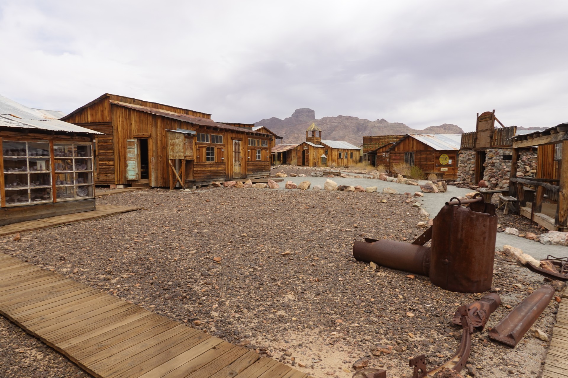
Soon, we are parked on the grounds of Castle Dome City and Mining Museum, and have a quick lunch before getting in.
 |
 |
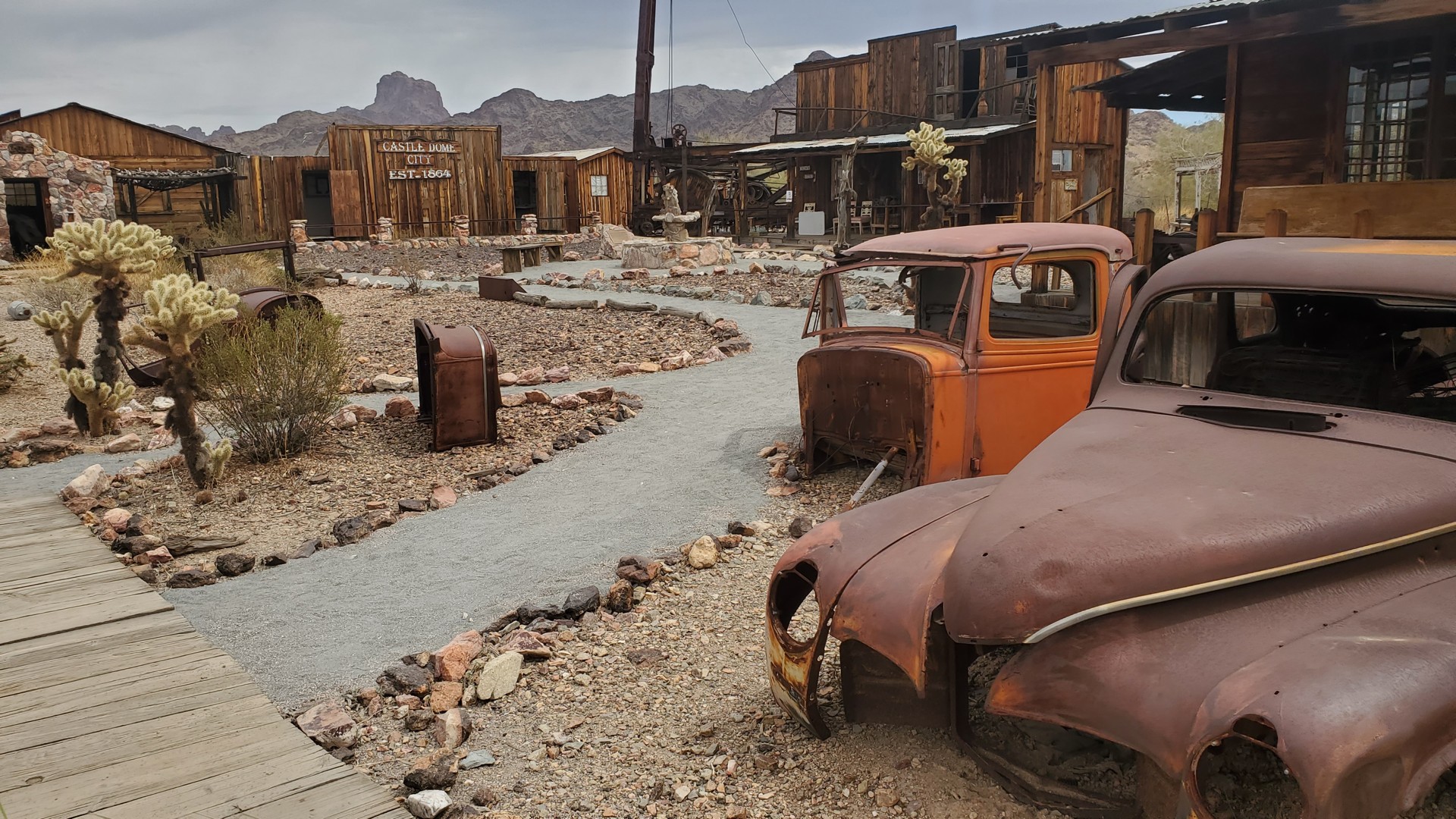
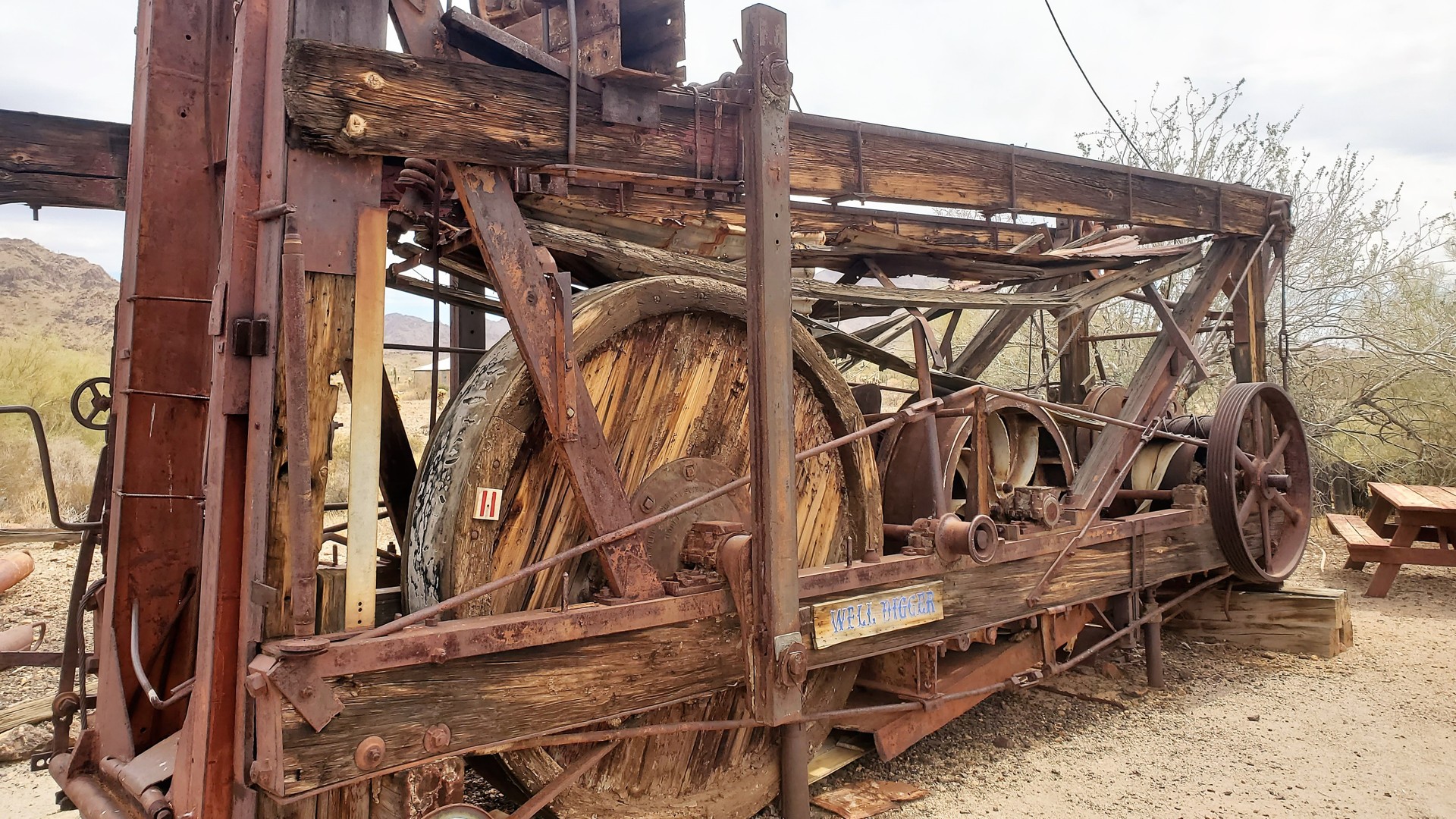
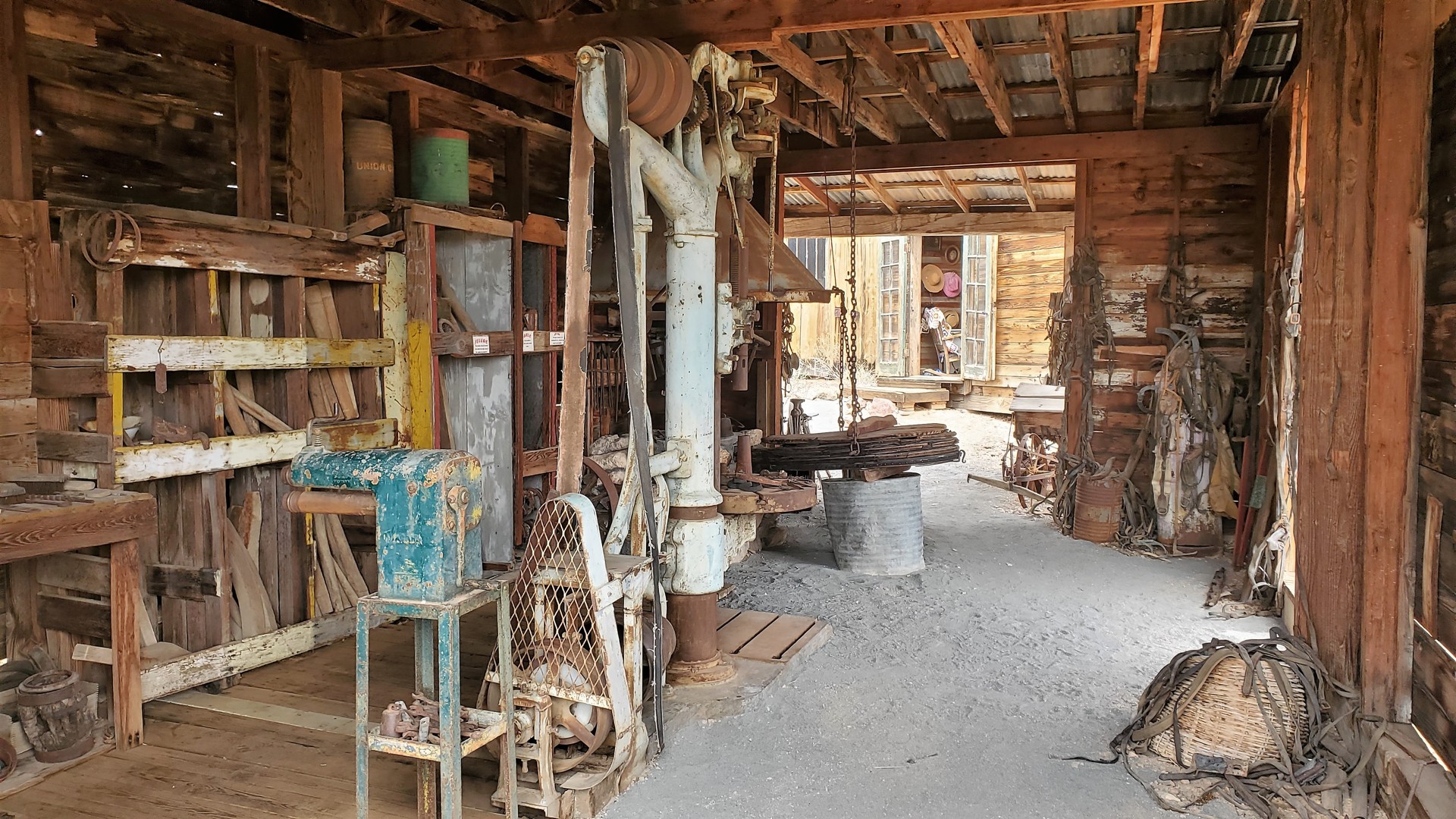
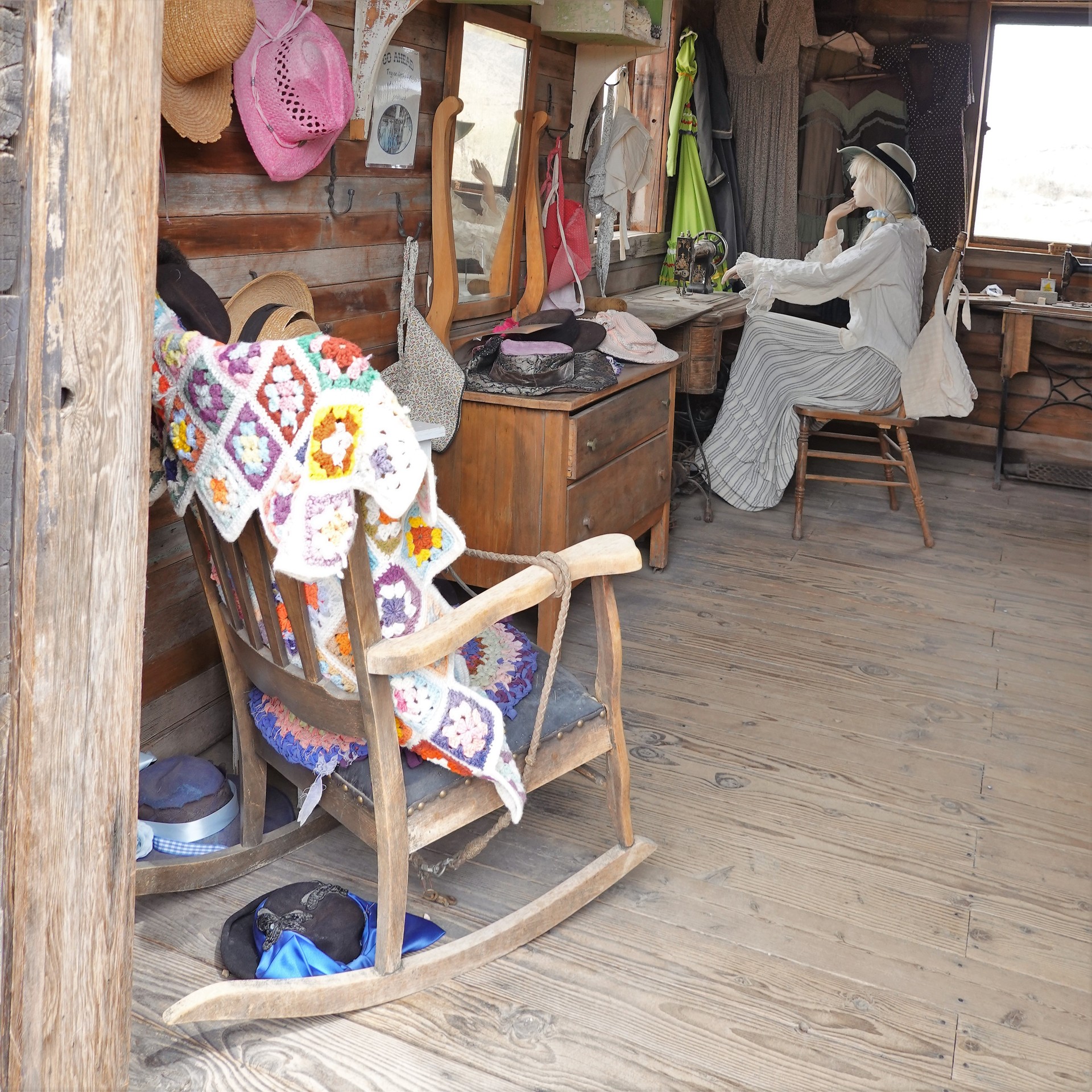
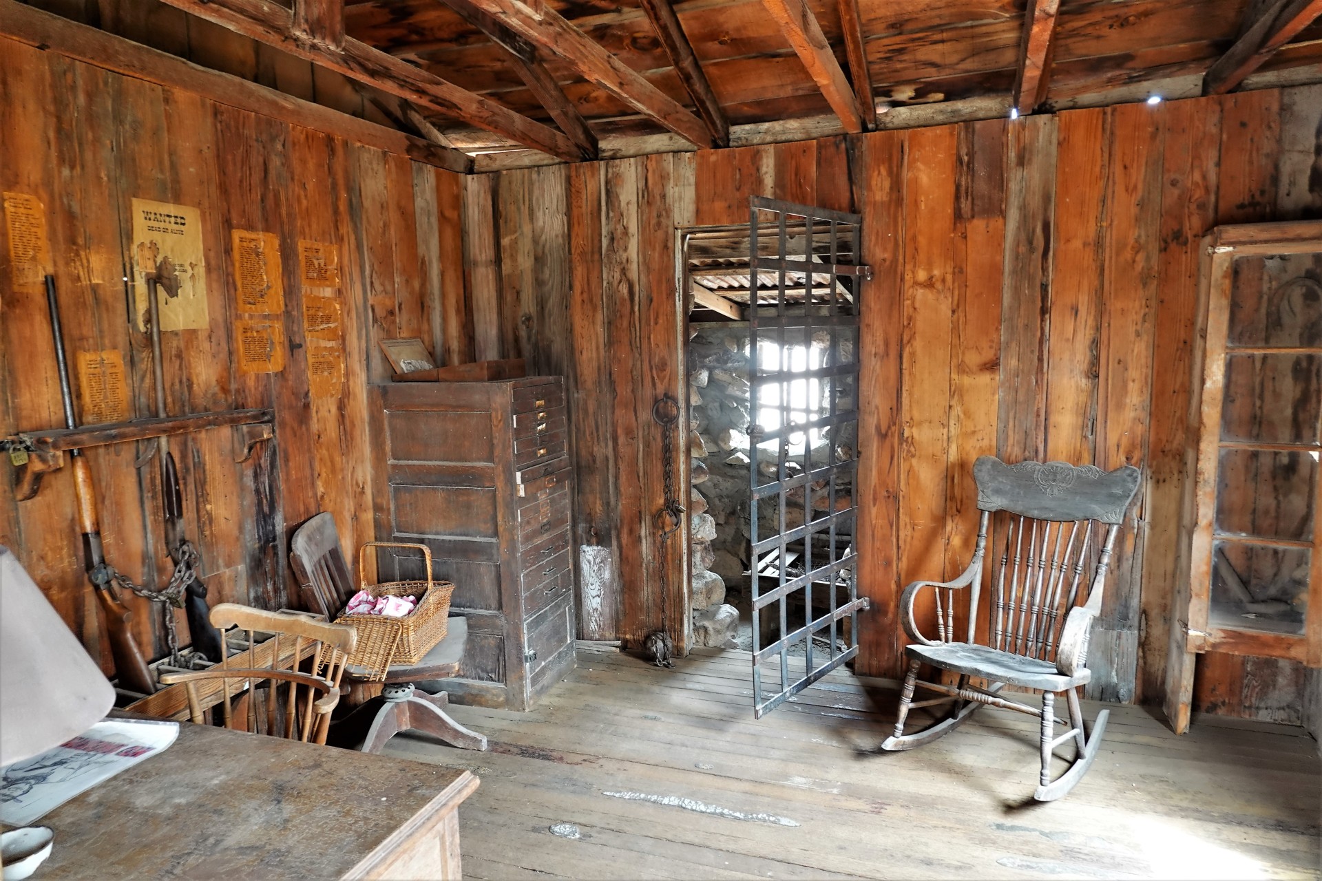
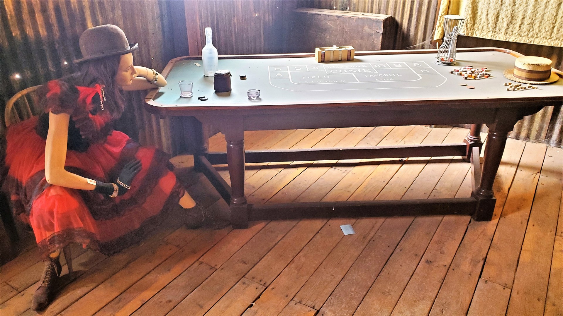
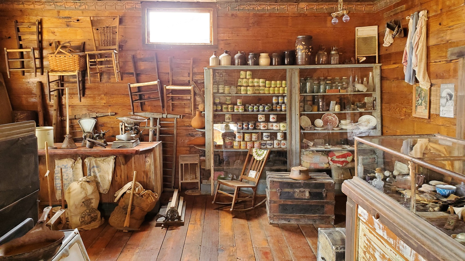
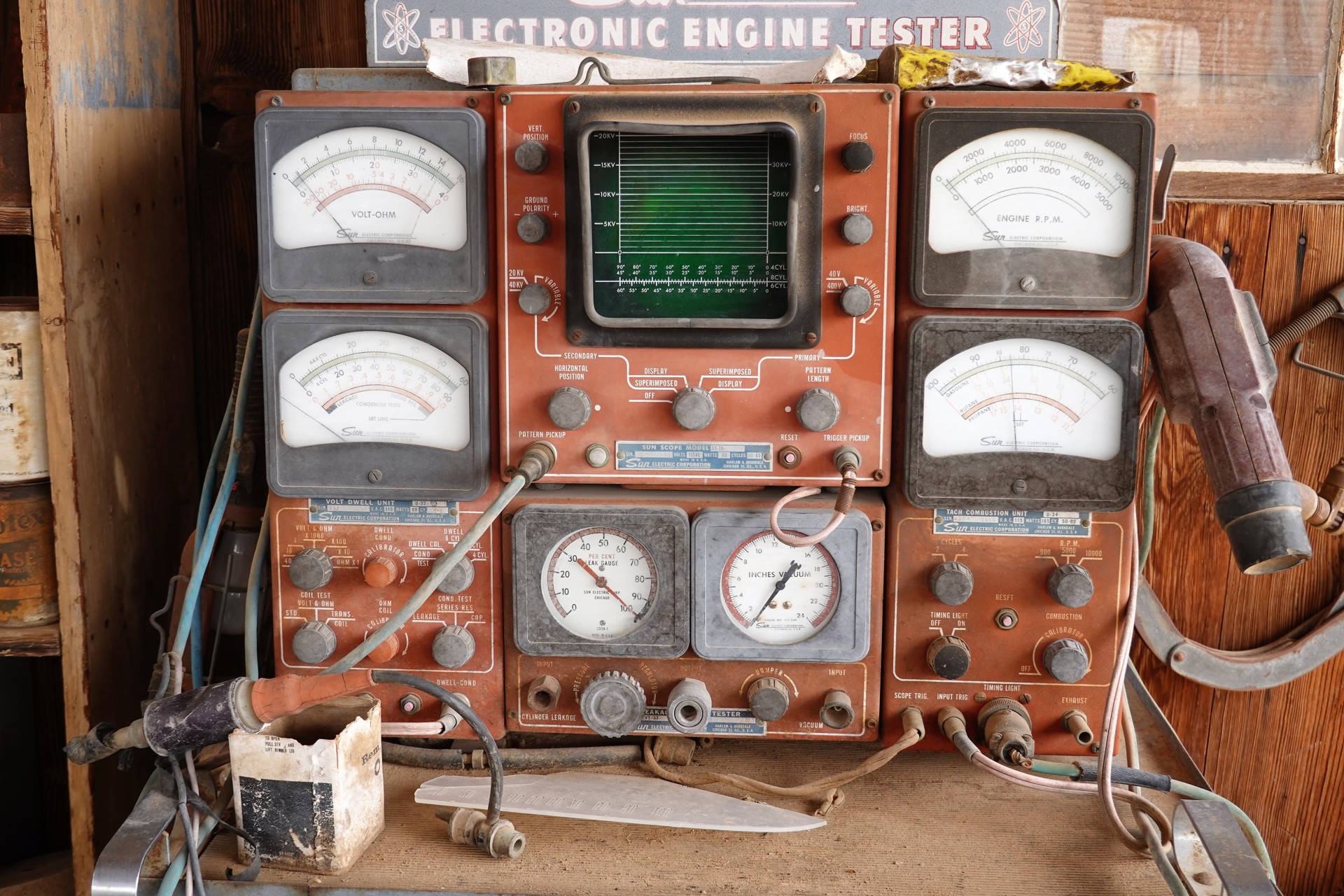
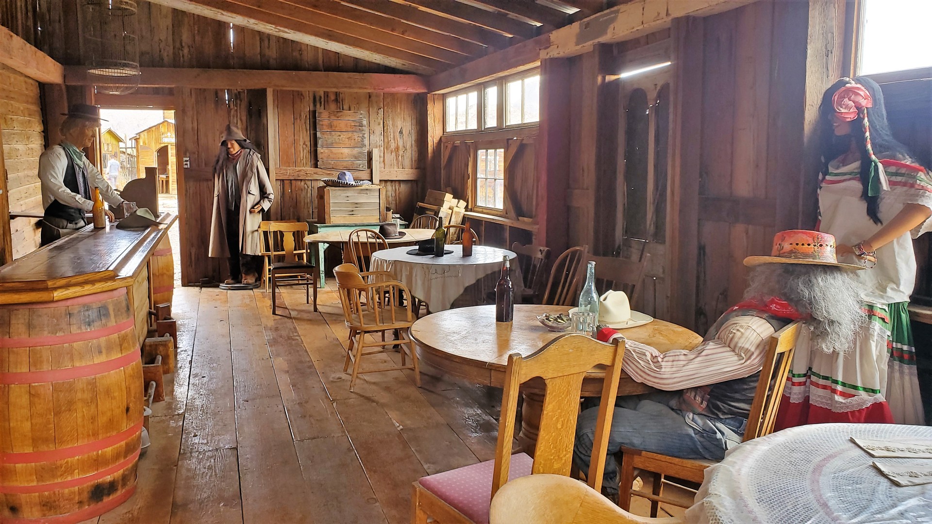
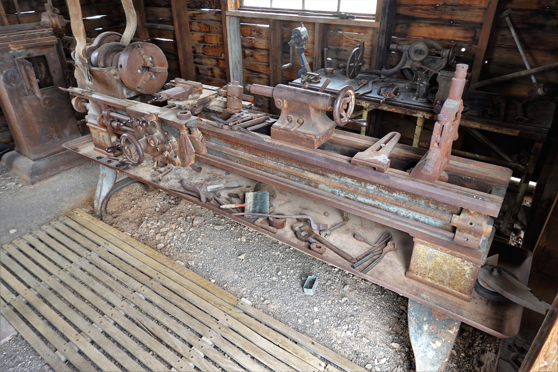
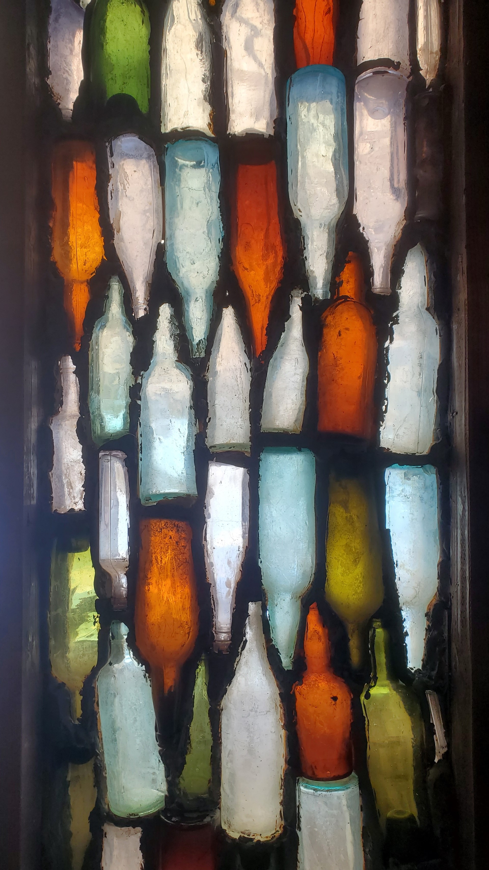
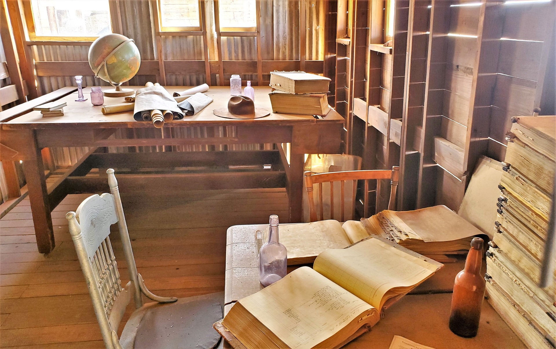
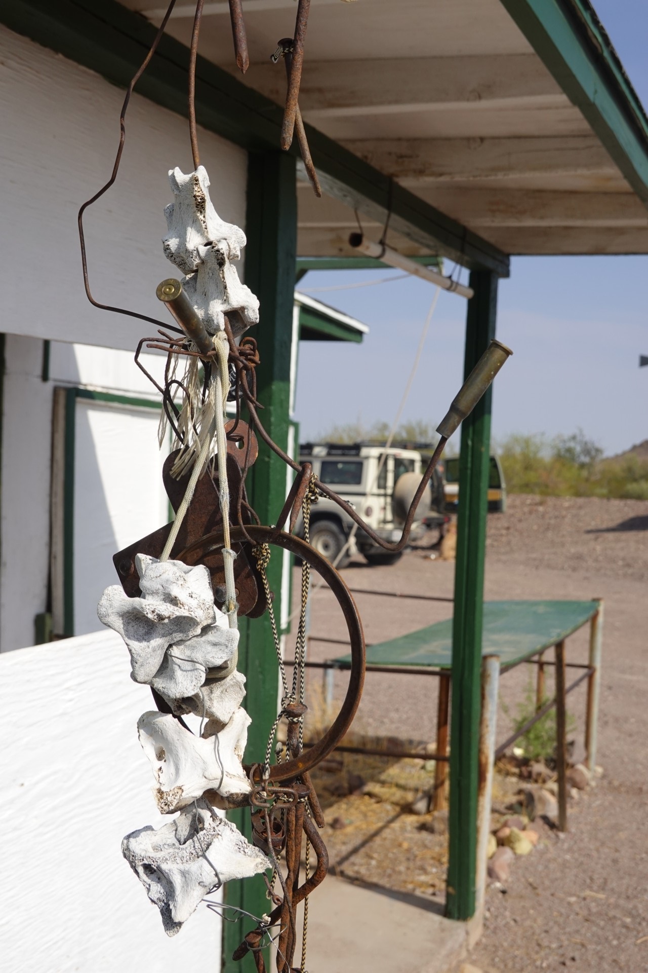
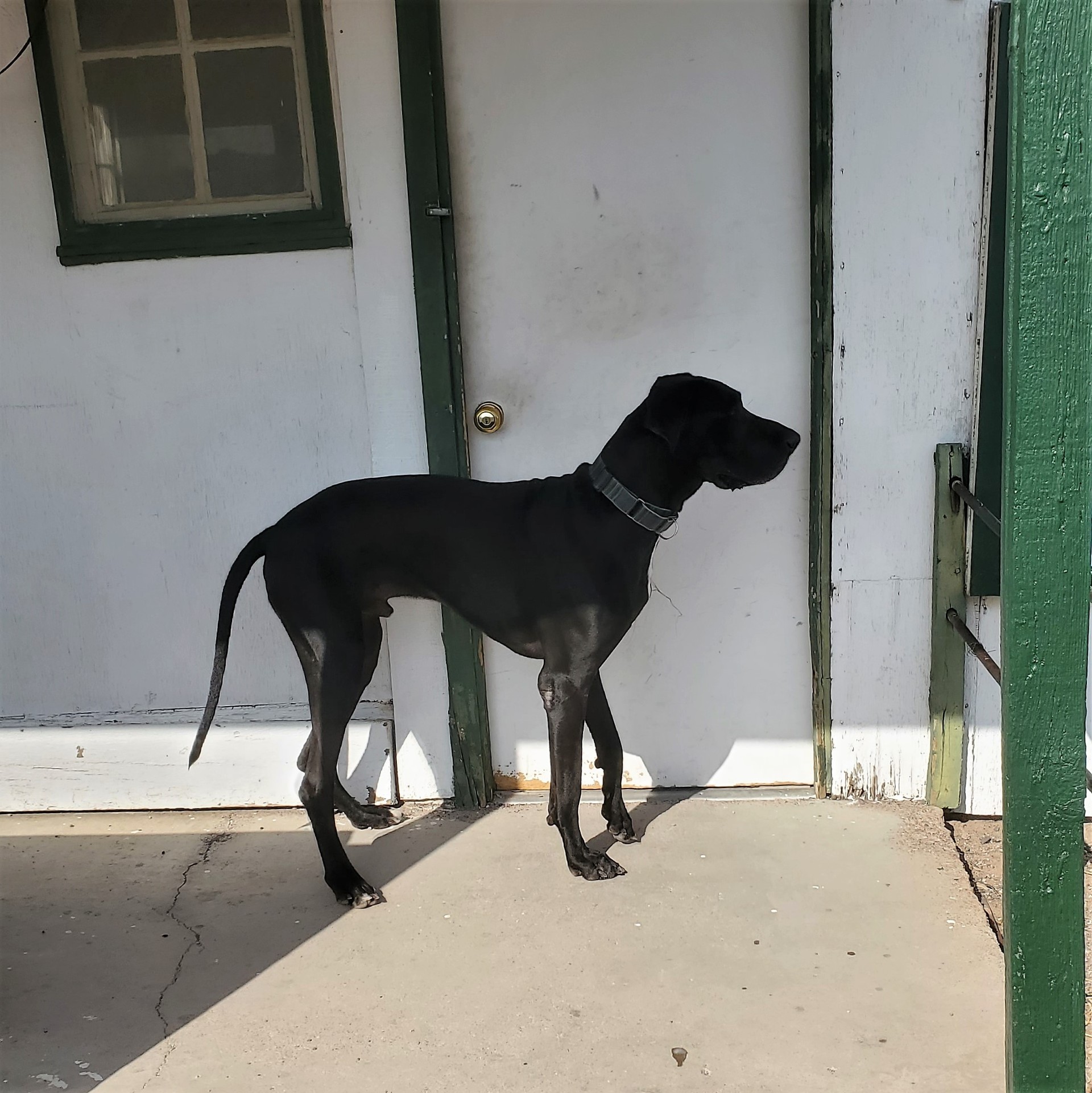
$20 entrance per person may sound steep - but we soon realize that this place is more than Bodie and Cerro Gordo combined, and more educational than Tombstone. There are nearly 50 buildings preserved, with mostly historically true artifacts, from kitchenware, clothing, and furniture, to machine tools and mining equipment. The museum is dog-friendly, so all three of our dogs get to see the buildings as well.
 |
 |
 |
 |
Some of the machine tools are still belt-driven, but the belt is powered by an electric motor – a testament to the length of time they were in use.
 |
 |
 |
 |
 |
 |
 |
 |
 |
 |
 |
 |
 |
 |
 |
 |
 |
 |
The museum visit means a 1.8-mile walk; by the end of it, the dogs seem to be a bit slower than earlier – just like us.
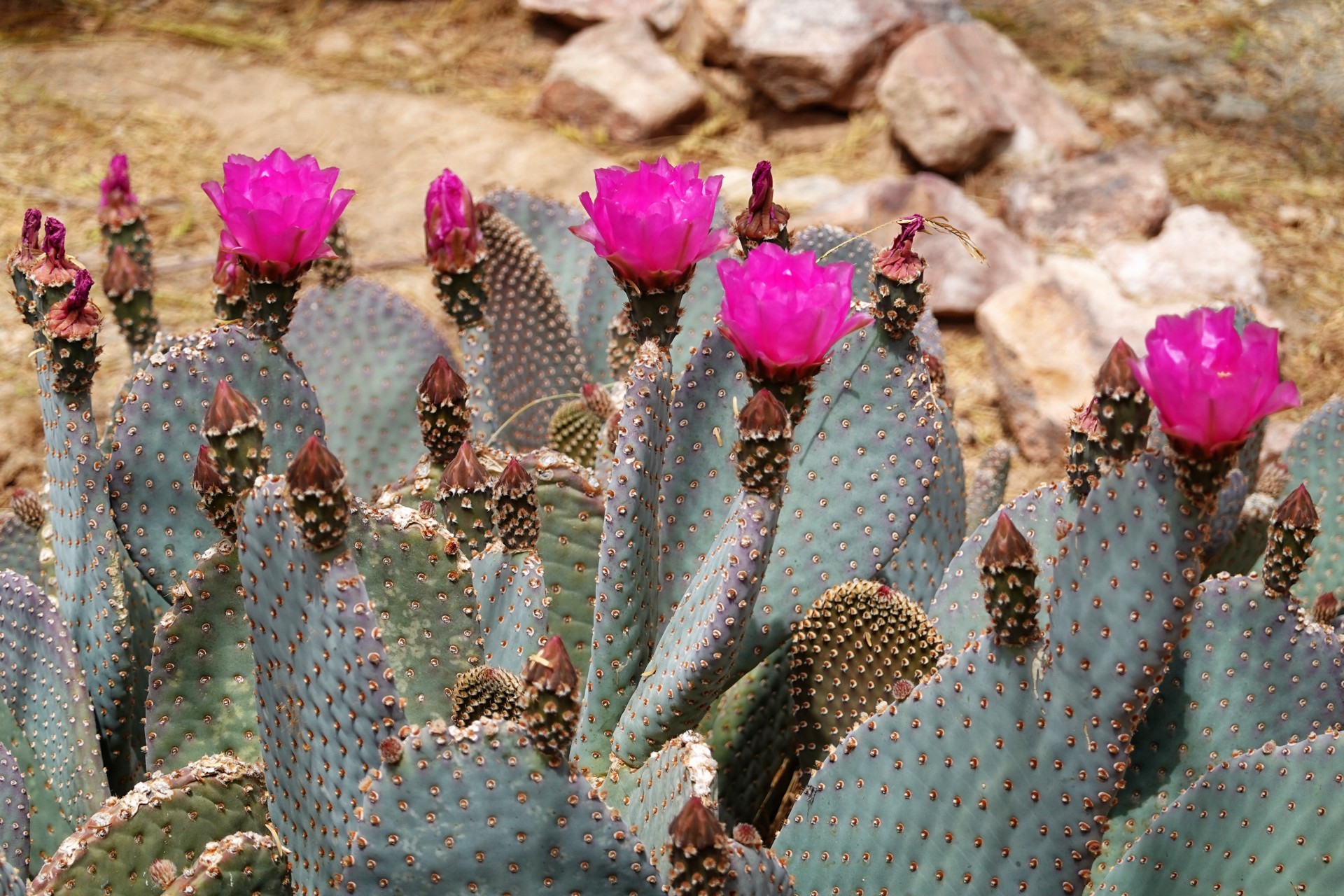
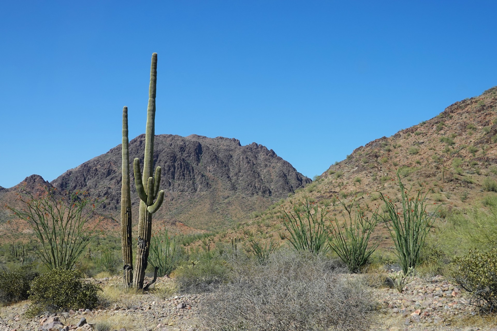
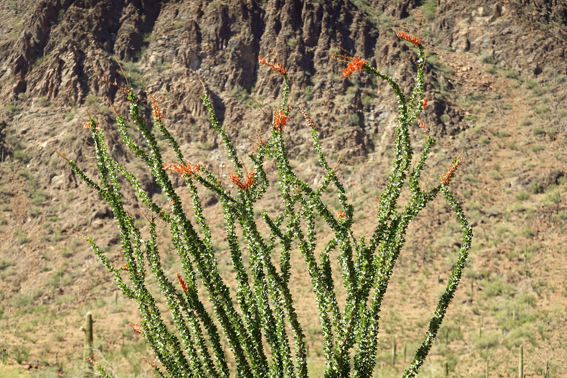
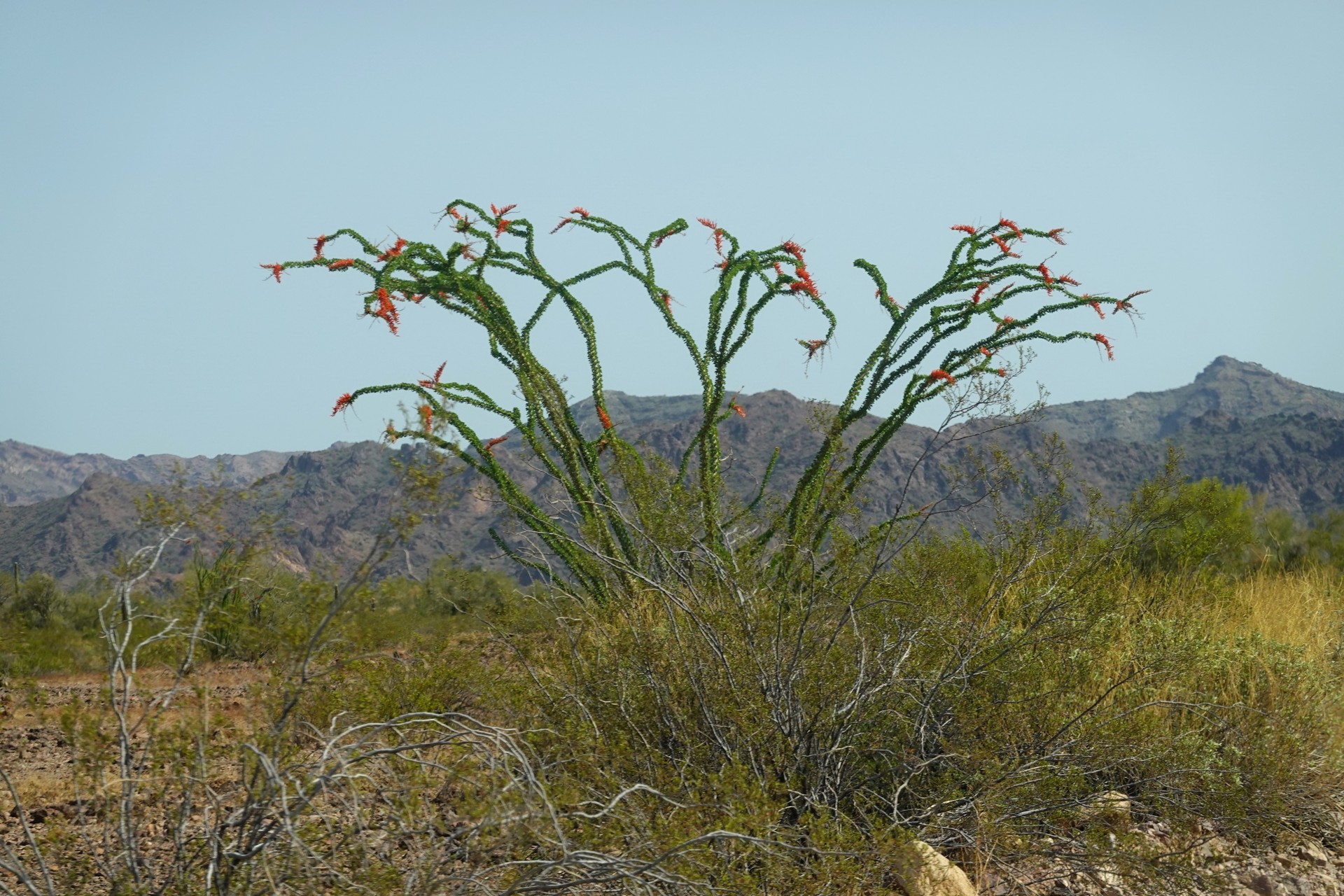
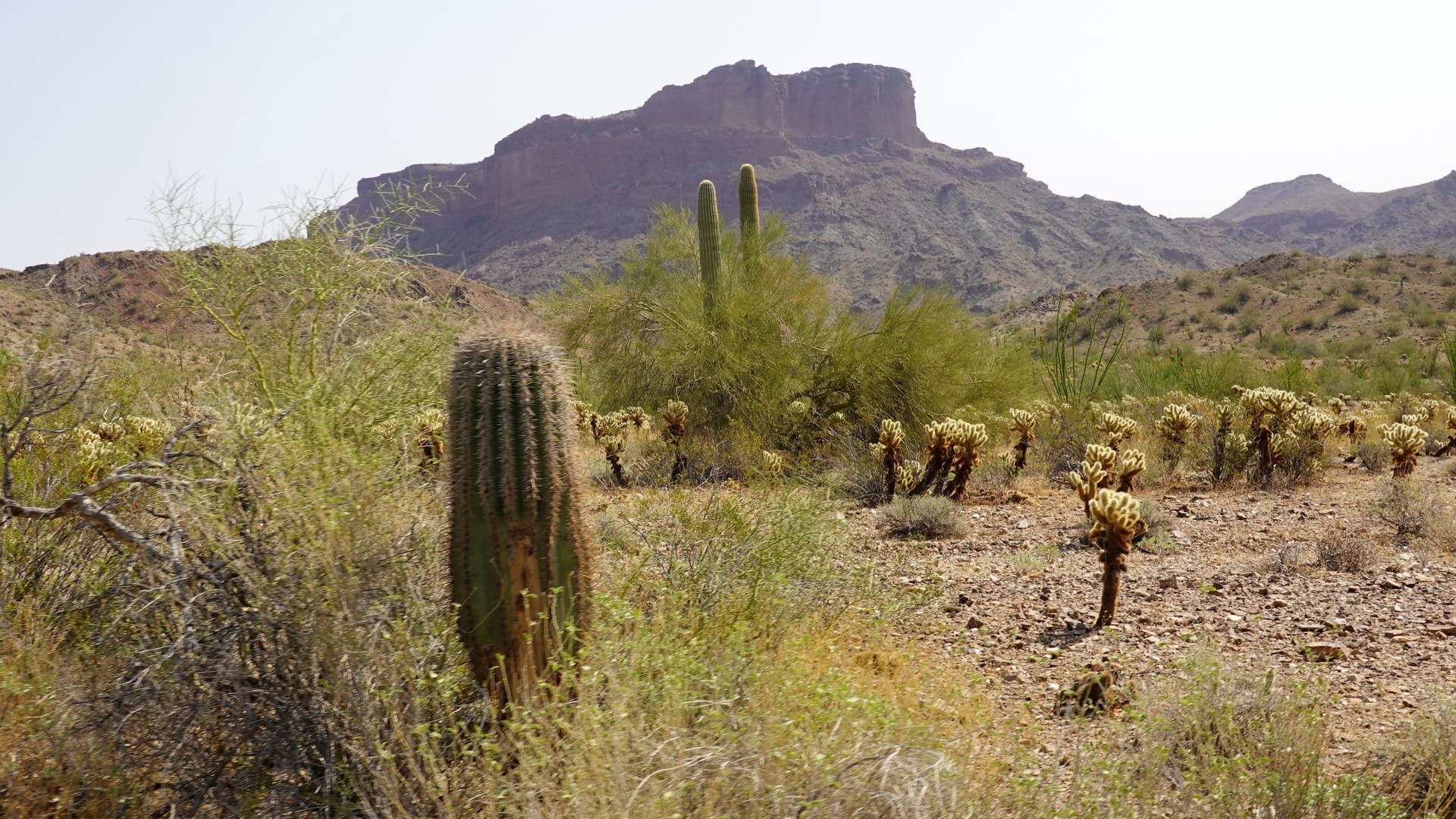
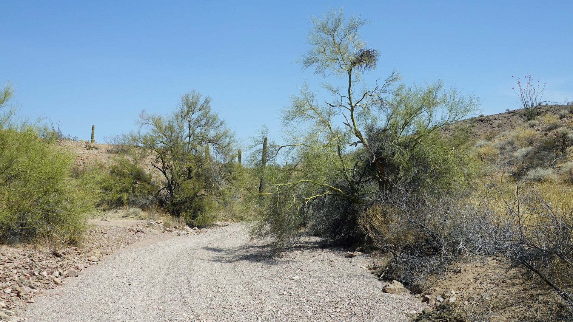
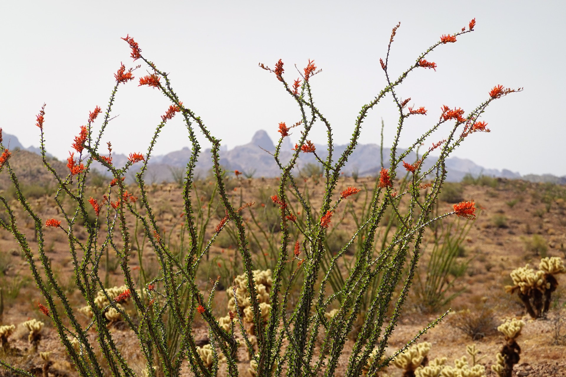
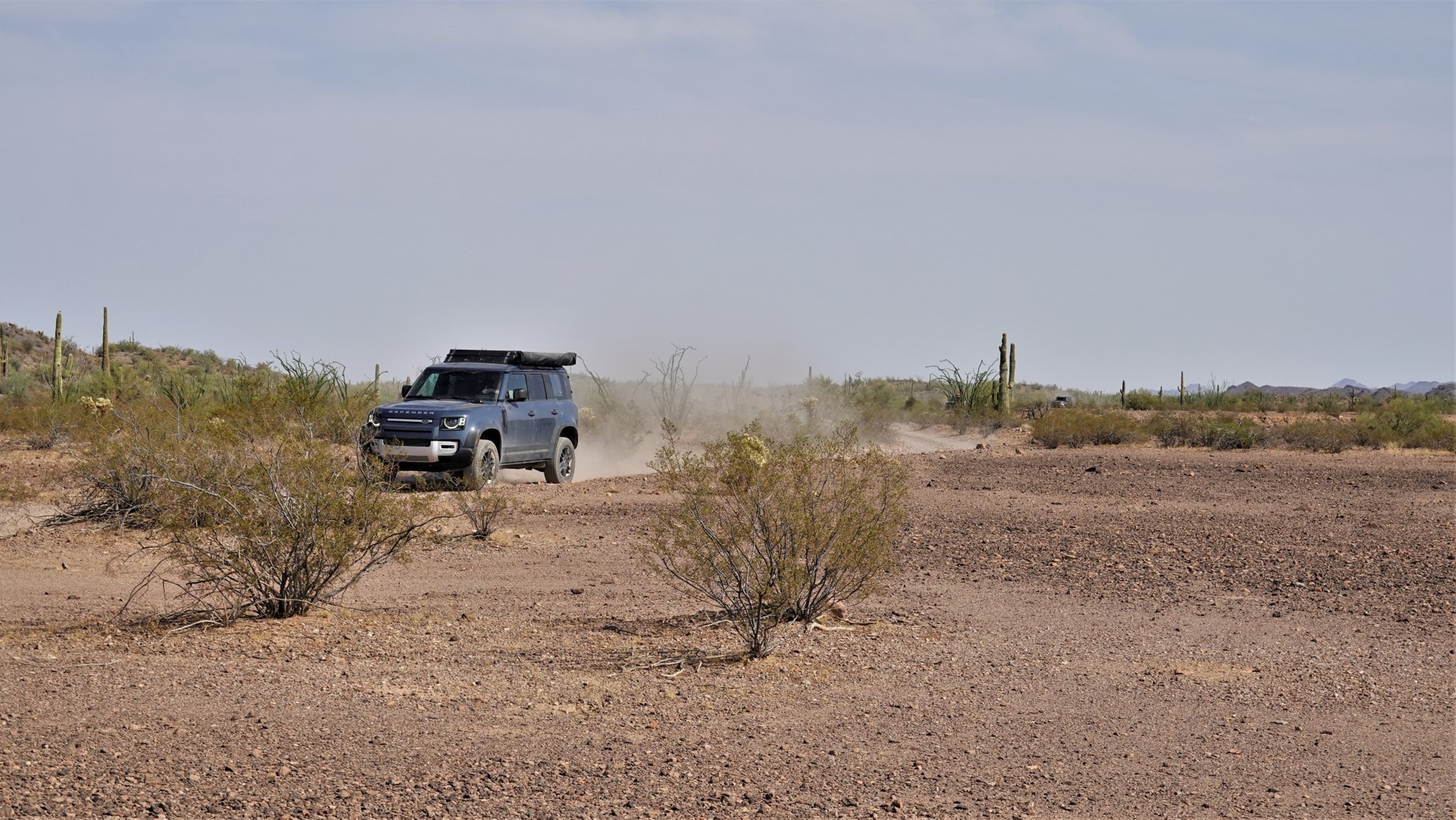
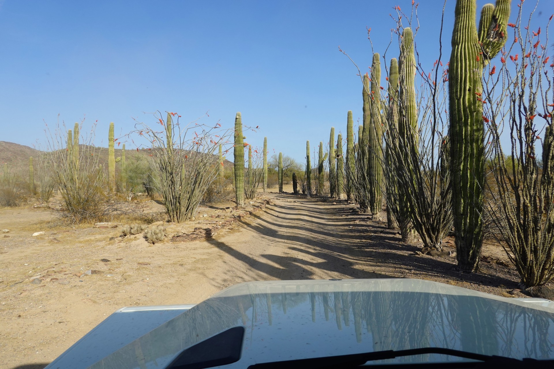
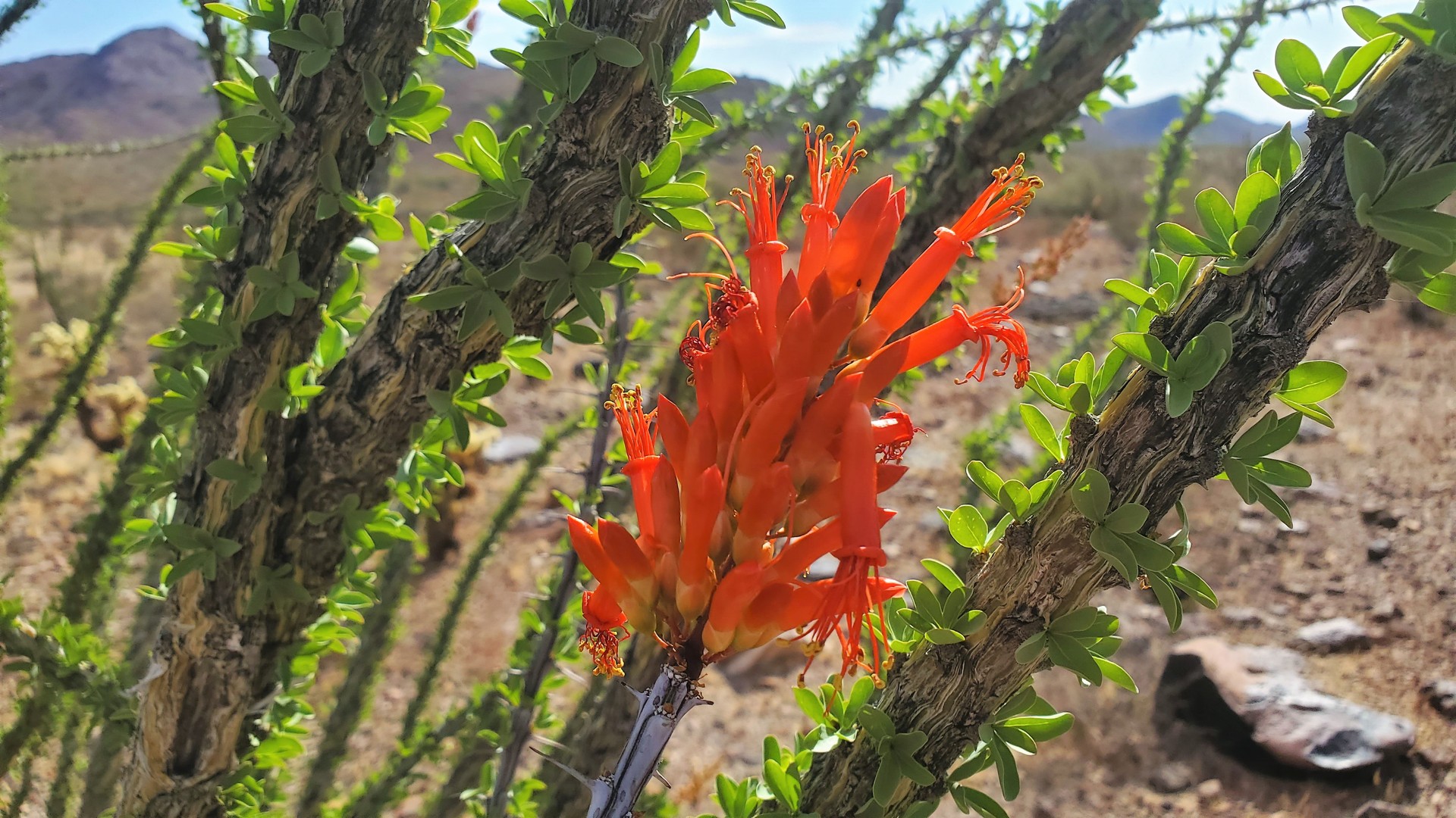
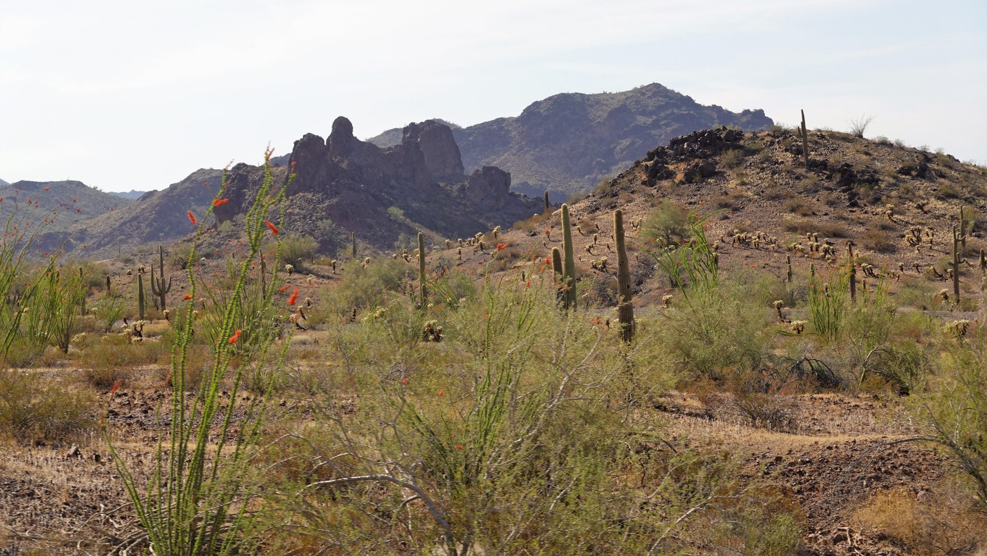
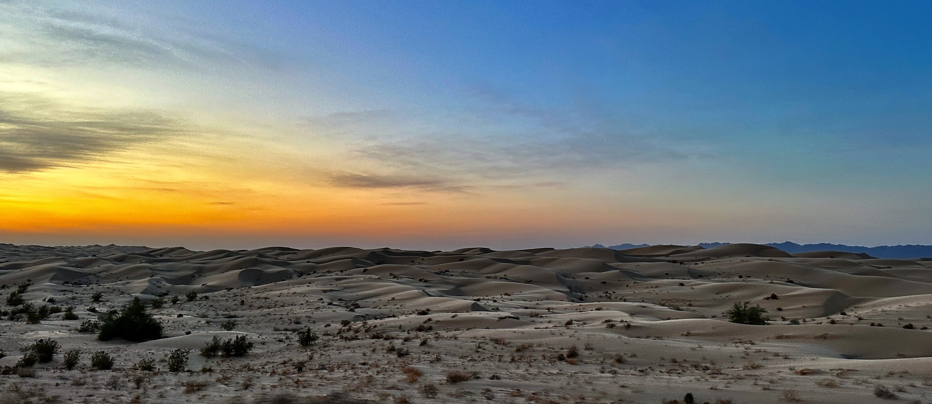
After the museum visit, we get back in our trucks and trundle on. The road across Castle Dome City, shown as open on all and every map, isn’t – so we have to backtrack some and take a side trail (named Castle Dome Kofa Bypass) to reconnect with Castle Dome Mine Road north of the town. The road climbs gently, crossing washes here and there, and makes its merry way towards McPherson Pass. We can’t have enough of views of the desert – it is brightly, vibrantly, green. The ocotillos which in Anza-Borrego desert have a small chance to develop bright leaves are not just green – they are dark green, almost dark teal. There is plenty of Saguaros around, and every wash is marked by Palo Verde trees. We don’t see any flowers, except for an occasional pink of an opuntia here or there.
 |
 |
 |
 |
 |
 |
 |
 |
 |
 |
 |
 |
 |
 |
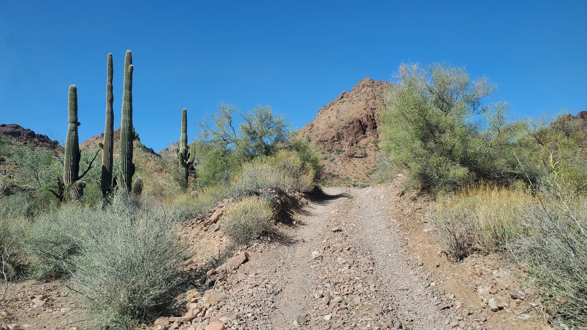
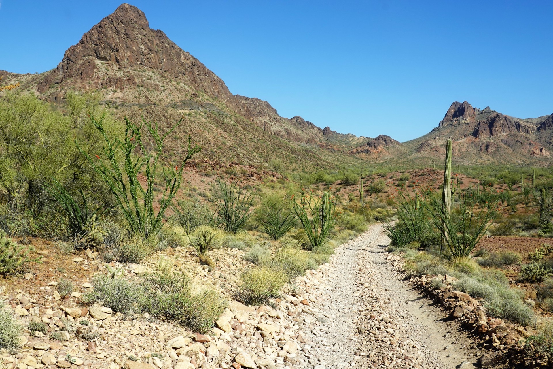
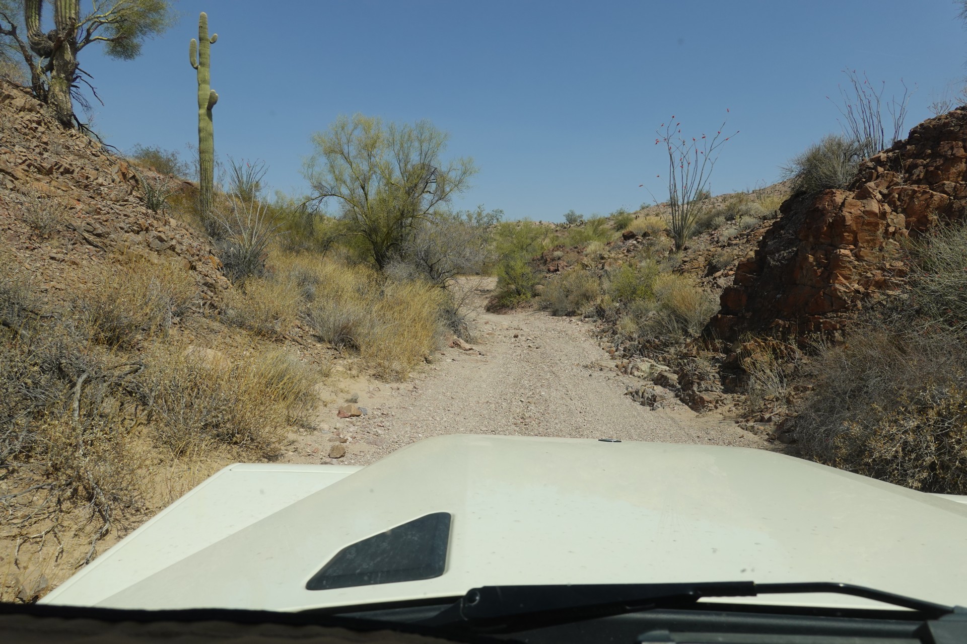
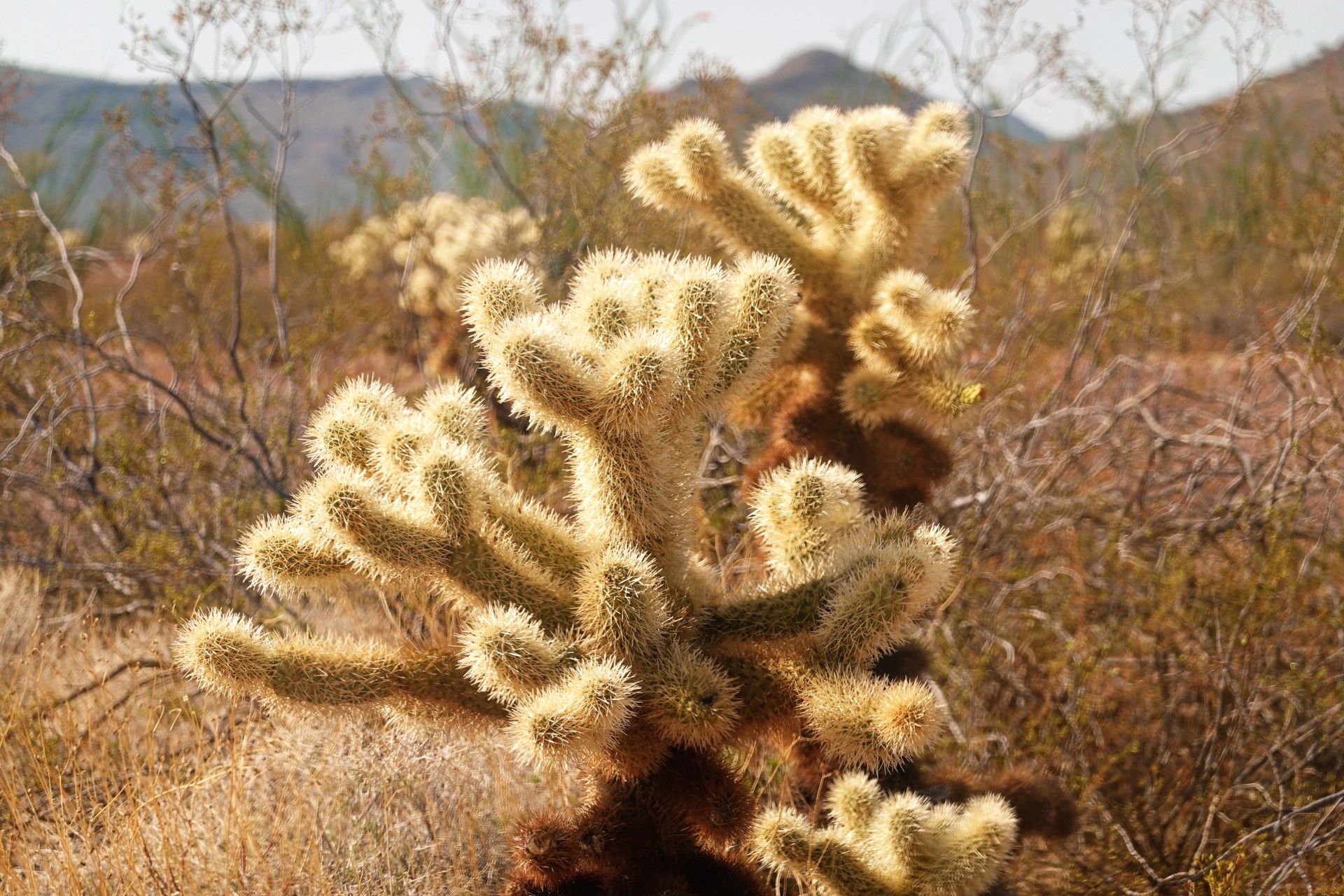
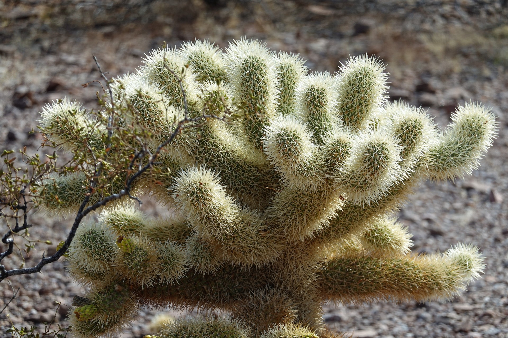
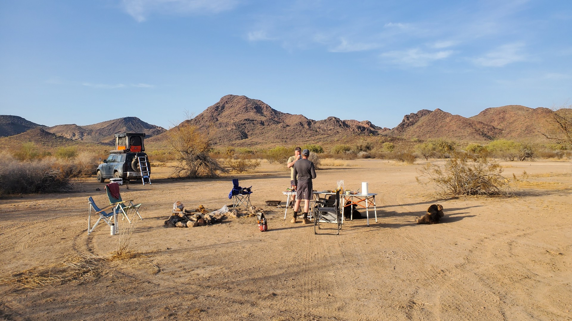
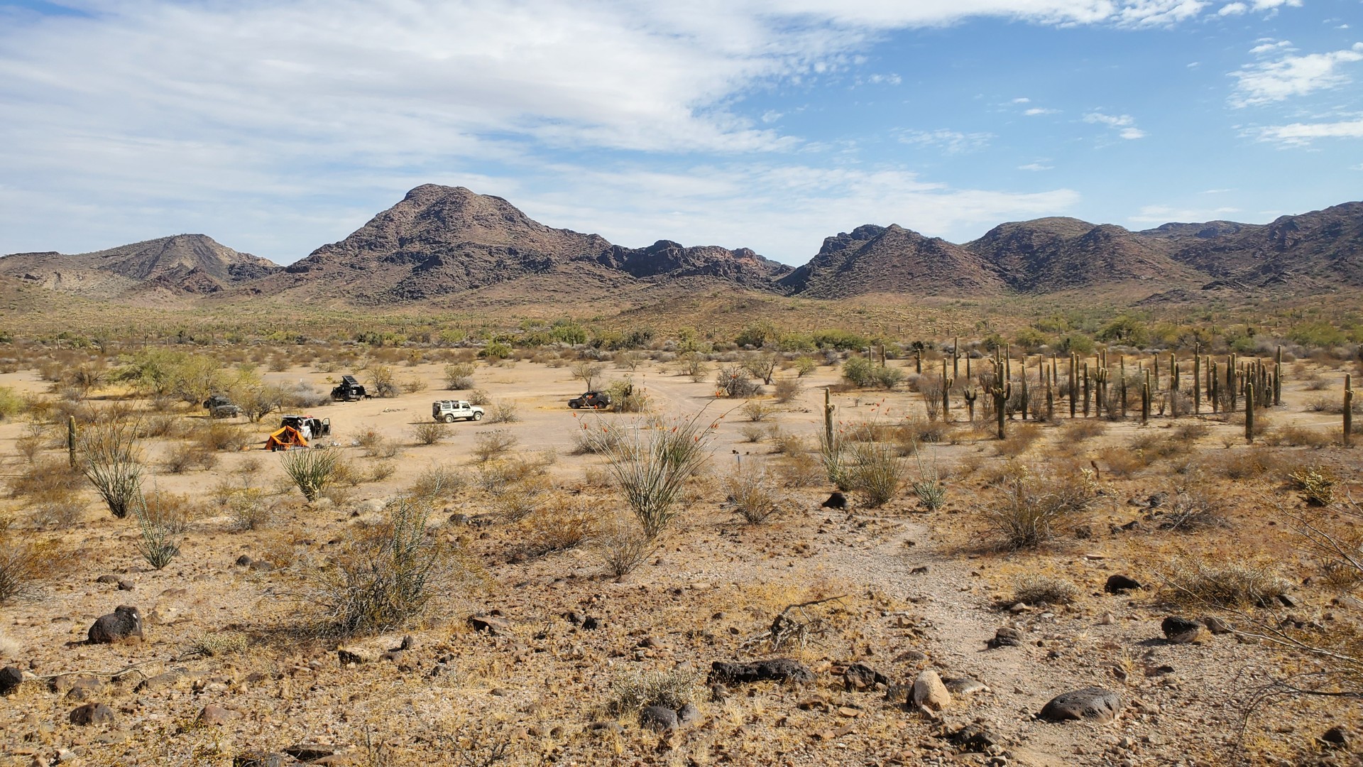
The road is gorgeous. Unlike the northern entrances to Kofa Wildlife Refuge, it is narrow and winding, and it makes a perfect ride under 15 miles an hour. Kofa has an incredible number of places to camp, some better, some worse, some only good for one vehicle, some – large, but most of them have jumping cholla around them. Stepping on an offshoot in the dark is bad news, just as it is with a curious dog poking its nose into one. About five miles downhill from the pass, we turn right onto Little White Tanks Road where we planned on camping. Our first tentative sight is well-protected from the wind, but smallish and sloped. The second spot as spied on satellite imagery is a mile down the road – it is open to the wind, but enormously vast, very flat, with a large fire ring, and mostly void of cholla.
 |
 |
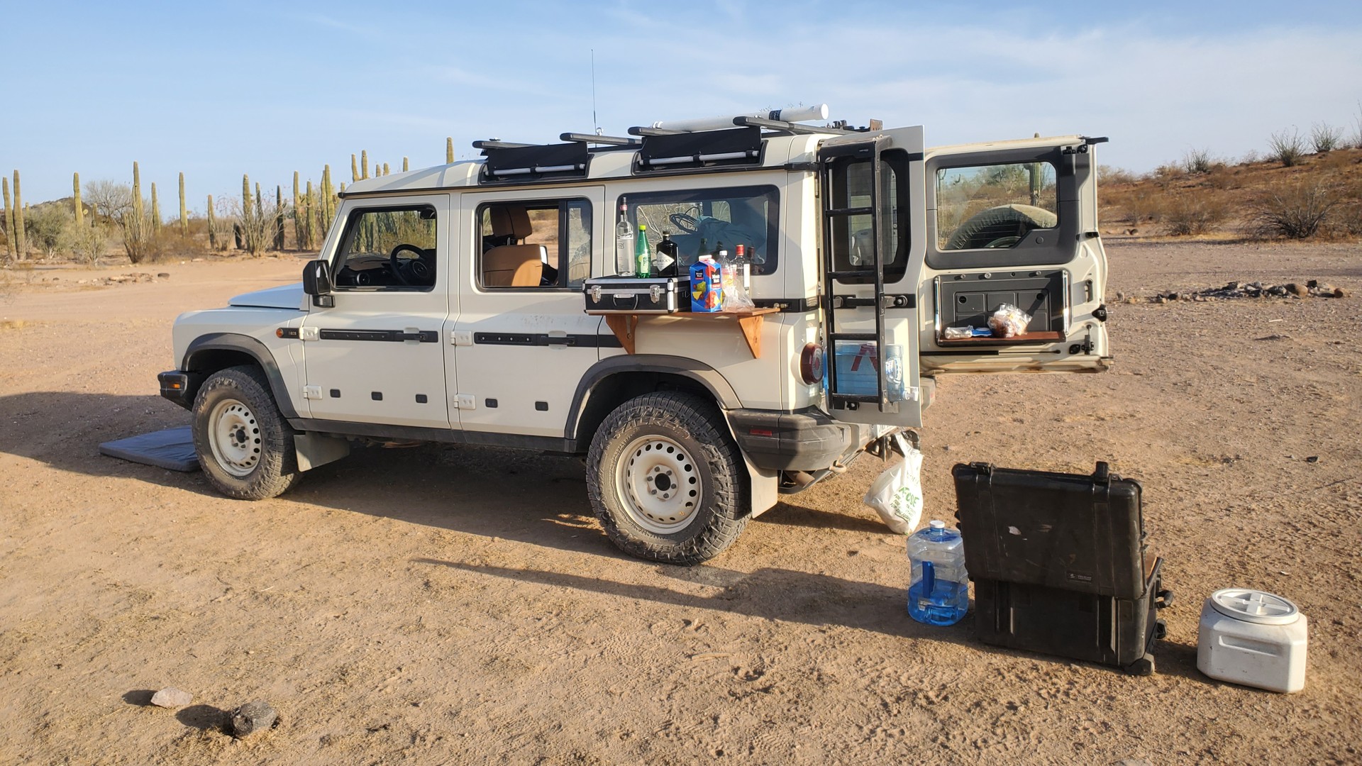
We pull over, spread around, and assume camping duties. This is my second trip with gin and tonic in the fridge instead of a usual beer collection – it does not disappoint.
Somewhere along the way, a wayward text message reaches my phone: another member of our party is battling Friday afternoon traffic fully intent on reaching the camp before 6:45 pm. I am somewhat incredulous – it would take some effort to drive that fast.
He arrives closer to 9pm, with a fresh eye-watering speeding ticket on the highway, and minus a spare tire – rocky roads in Kofa are not gentle on way aired-down tires driven almost at highway speeds.
We have a gorgeous campfire and enjoy life until very late. We’ve covered about 30 miles on dirt today, and we have close to 60 to cover tomorrow – so eventually the conversation peters out and we turn in.
Jules wakes me up at 3 in the morning and demands a walk and water. It takes a long while to get him back into the truck, and even longer – to figure out how to make instrument panel turn itself off. I should read the owner’s manual every now and then…
King Valley to Hovatter Homestead
As we only plan to cover about 60 miles of moderate trails today, we aren’t in a hurry to get going. Coffee and breakfast are produced and consumed. The stuff is getting packed away into the trucks. Dogs are developing a curious dynamic: a good-looking girl is looking for attention, three boys are circling each other hoping to hump one another. Once again, it is confirmed that the boys’ behavior does not depend strongly on the presence or absence of testicles. They raise some dust, however, to our mild irritation.
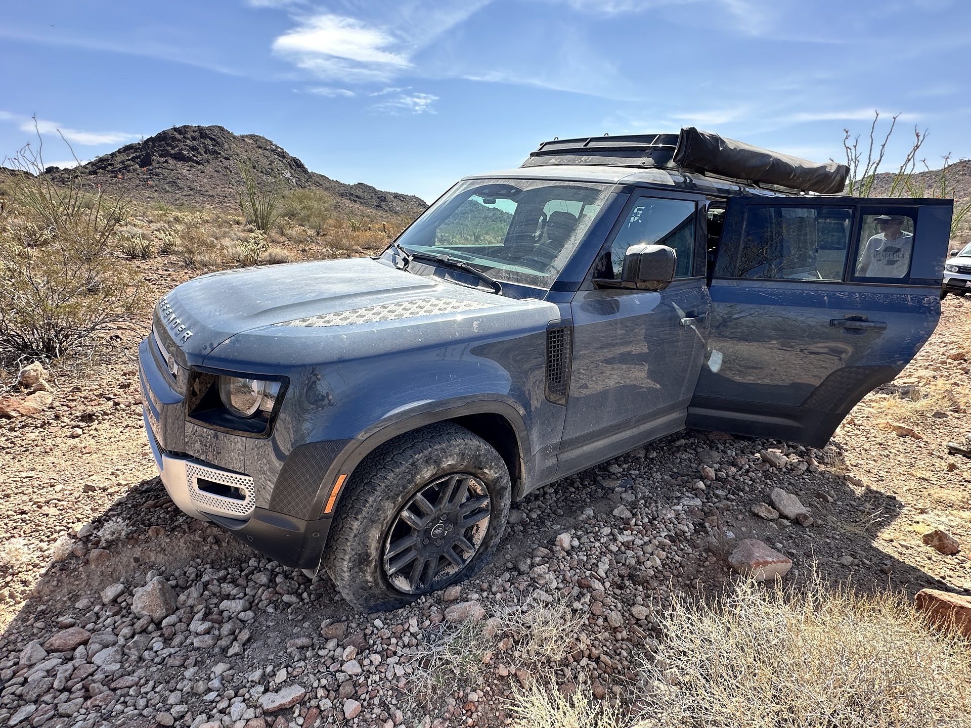
We also examine the blown tire. An entire lug of a Goodyer Wrangler A/T is hanging like a flap, with a roughly 3/8”-sized hole underneath and some cord showing. Our attempts to shove in some tire plugs and reattach the flap fail, and we decide to drive with more sensibility later on.
Around 9 in the morning, we depart.
We gradually drop to the valley floor, turn right on large and well-graded King Road, and continue on it for a couple of miles. Then whatever is King Road turns sharply north, leaving the “old” King Road continue as Wellton-Kofa Road. We stick with the “new” King Road – towards the Kofa mine. As we make our way on the graded road, we pass a bicyclist working hard on loose gravel – we try our best to keep the dust to a minimum.
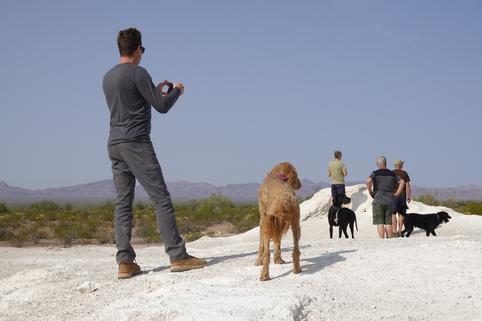
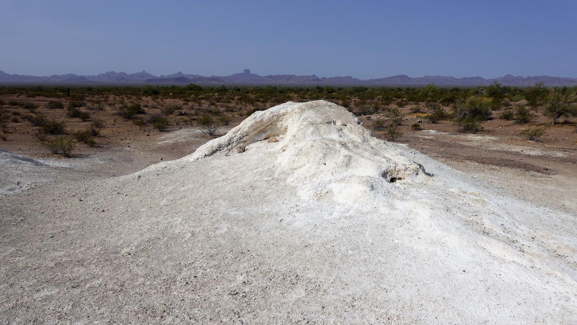
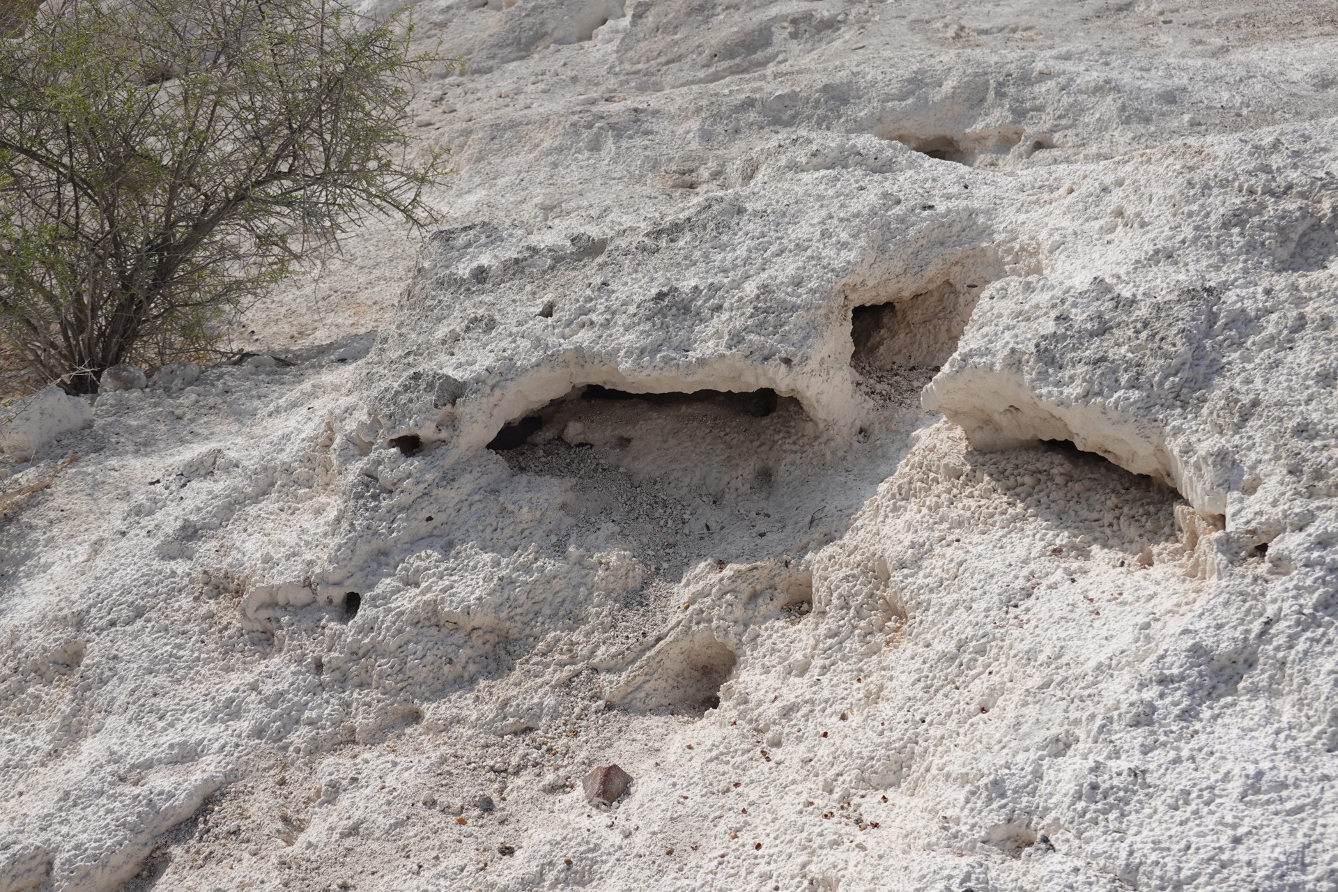
A little while later, we come across something that totally looks to me like a hydrothermal vent – a pile of something very white, with multiple large and small holes in it. It can be argued that it was a pile of chemical trash left over ages ago – we leave undecided.
 |
 |
 |
 |
 |
 |
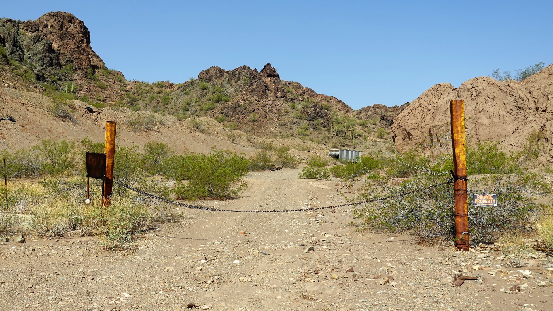
Predictably, King Road leads us to a cluster of mines – all of which seem to be fenced and posted. In Arizona, we don’t trample over private property, lest we end up on a business end of a shotgun. We drive around the bend and see a path that should be leading to the King of Arizona Mine – and it is.
 |
 |
 |
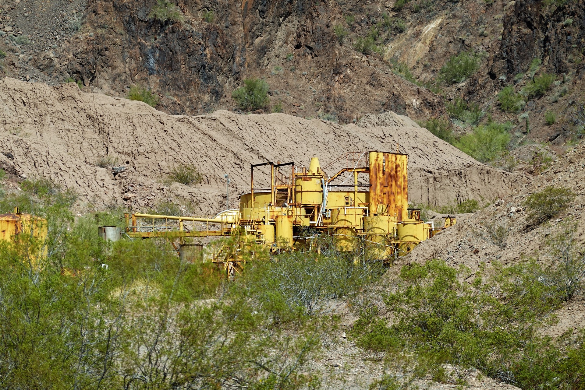 |
First, we see a “no vehicles” sign and proceed on foot. Closer up, we come up on the chained gate and old barbed wire around the property, also posted as private. From the fence, we only see very old tailings and some machinery painted yellow. I wonder if the series of four hopper tanks, slightly offset in height, was some sort of ore concentrator or leaching vats.
As we return to our trucks, we see the same bicyclist cranking away. Now we have to pass him again… and we do. He declines our offer of water or Gatorade and waits behind for the dust to settle.
 |
 |
 |
 |
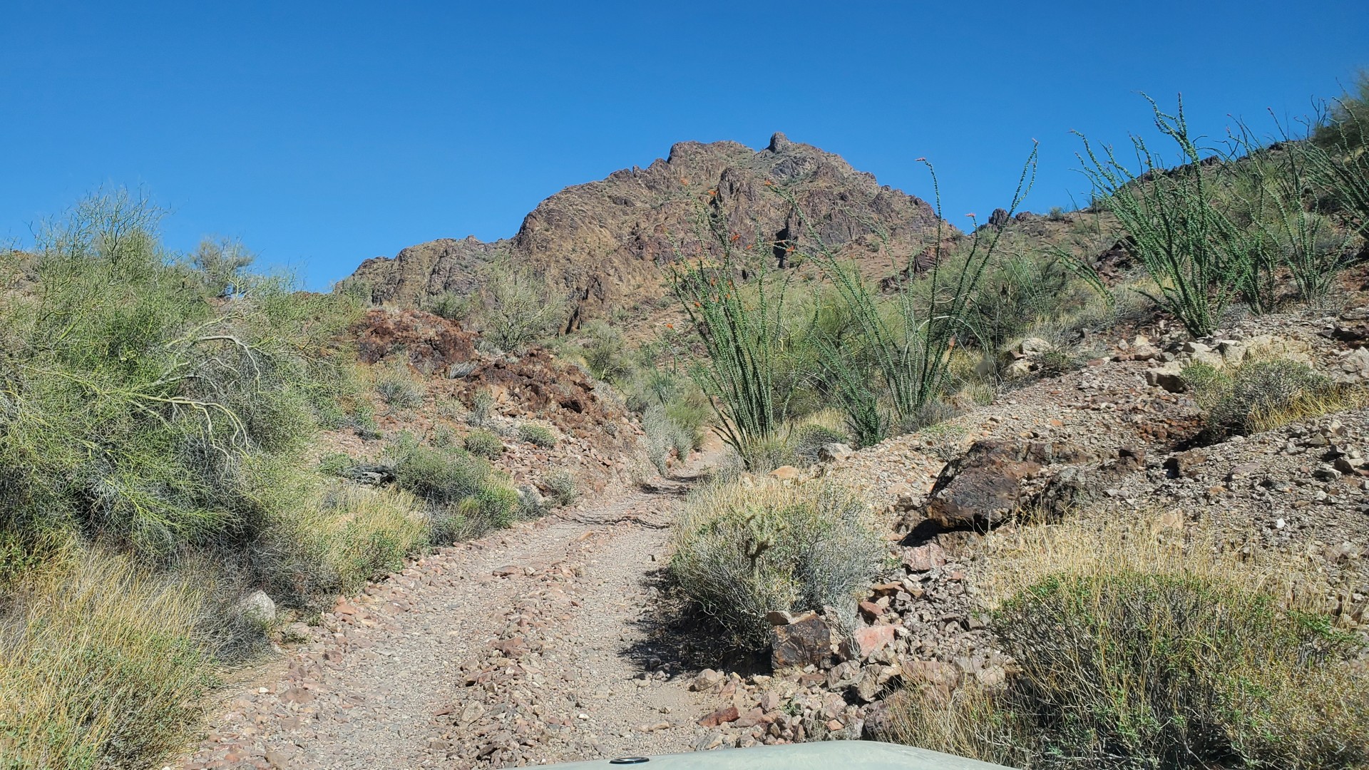
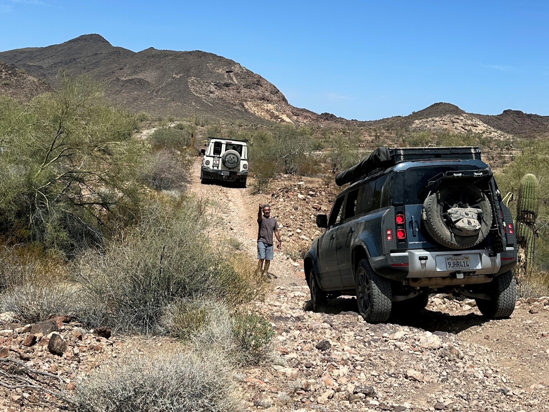
The road continues meandering along the foothills of Kofa Mountains for another ten miles or so and then joins a road with a cool name “Neversweat Ridge Road,” and goes uphill towards Engesser Pass. Try figuring out where did the name originate from – the only thing I could dig is that the Engesser Junction, and Engesser Pass, are named after one Max Engesser, a prospector and owner of Engesser Mine nearby. The road is neither super easy to drive on nor hard – but as it meanders in a narrow canyon, its surface alternates between soft sand and rocky sections where flash floods washed sand away. There are some steep climbs necessitating low range gears.
A couple of miles after the pass my plan called for continuing on the same road, roughly towards north-east – yet when the fork in the road appears, the road ahead is blocked and posted “no vehicles.” Once again, neither GaiaGPS, nor OnX, nor Google give any hints or warnings – travel on your own risk.
We turn left on Engesser Pass Road which gently descends into Moonshine Gulch and makes an almost a 180-degree turn near junction with Yaqui Tanks Road. Nothing is straight in this part of the world; the road makes another 180-degree turn (but of a much larger radius) to continue generally in the same direction, along Hoodoo Wash.
 |
 |
 |
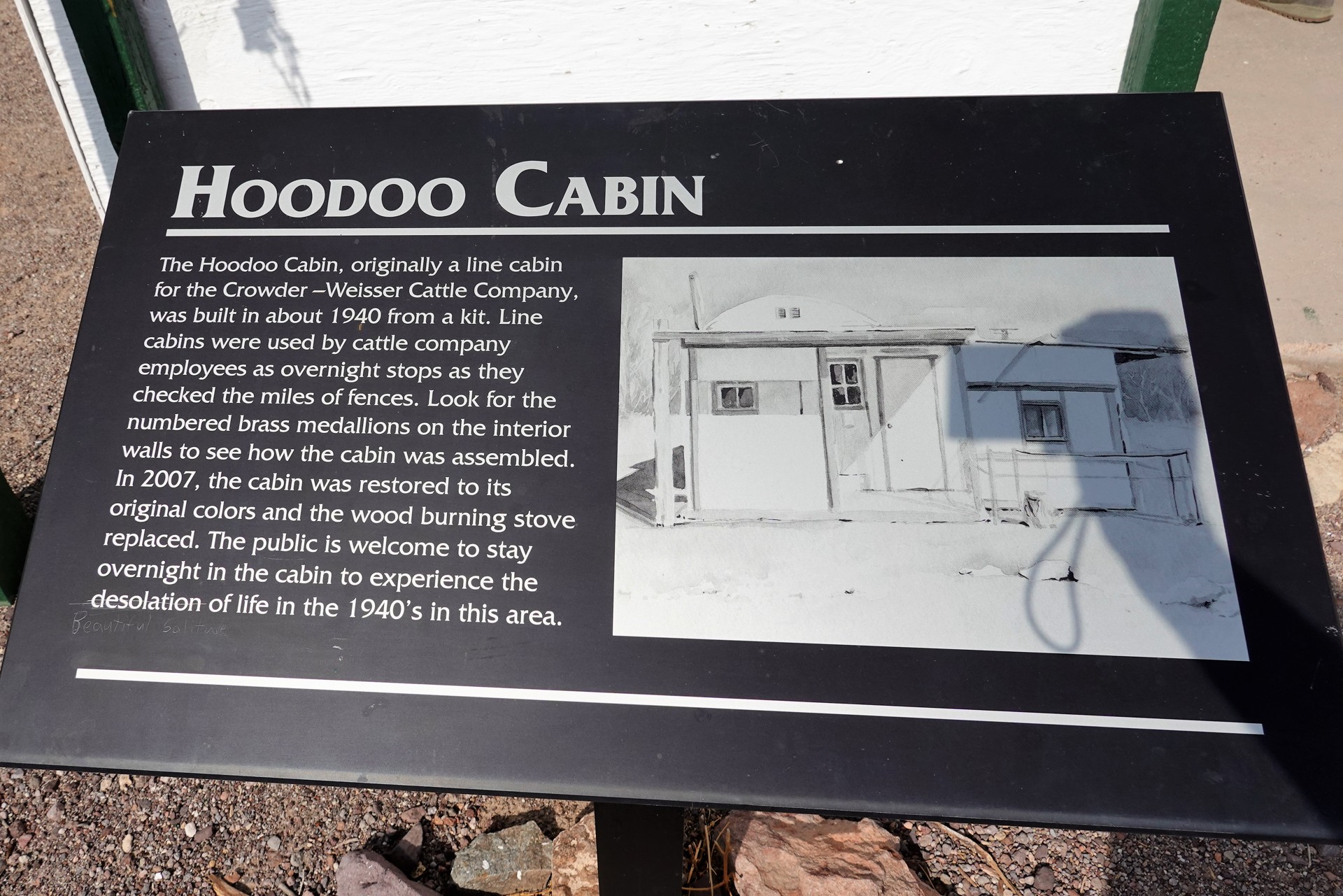
It is a mid-afternoon now, and the goal for the day was Hovatter Homestead site. We have some time, though, and detour to see the Hoodoo Cabin – one of decently-maintained cabins in Kofa Reserve, which is fairly livable should one happen around on a very hot or very cold and rainy day. There is a stove, a few beds, and assorted leftovers from people passing by. We explore the site, and leave – and shortly after, meet the same bicyclist again. We stop to chat - his plans are to spend a night at Wilbanks Cabin, maybe six or seven miles further. We are blown away – it is one thing to maintain one’s concentration driving a four-by on this road, and a whole another deal to do it on a bicycle. We learn that he counted on somebody leaving him water in Hoodoo Cabin – which was not the case, so we provide him with whatever bottled drinks we have.
 |
 |
 |
 |
 |
 |
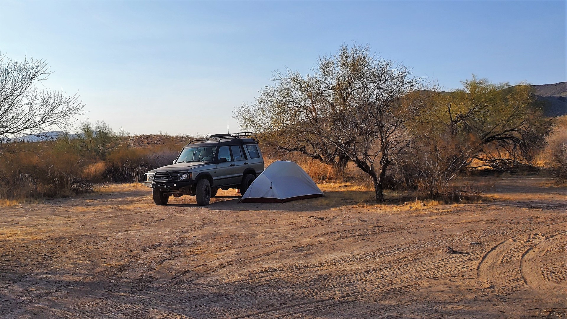
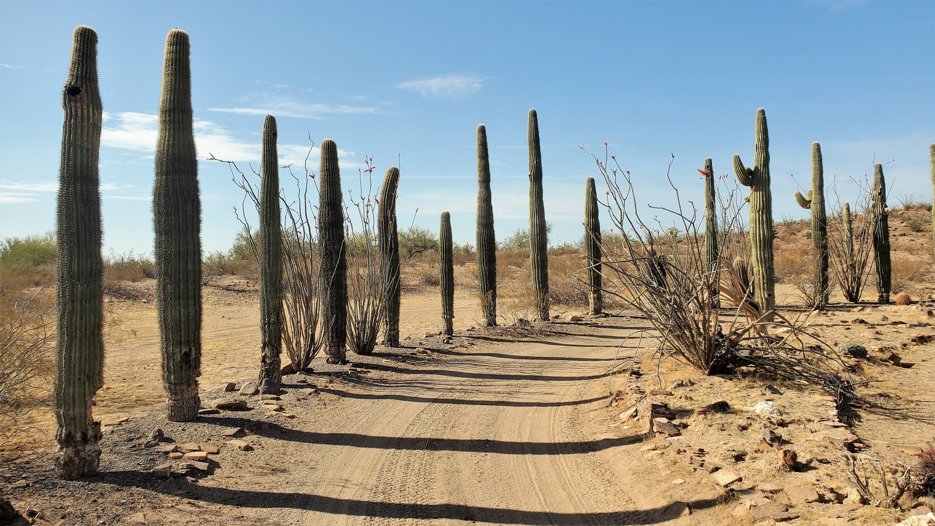
It takes eight more miles to reach Hovatter Homestead. The sun is still high above the horizon, around 5 in the afternoon. For the previously cleared, pancake-flat, area with a circular driveway adorned by Saguaros, it is amazing that you only see it when you get to it.
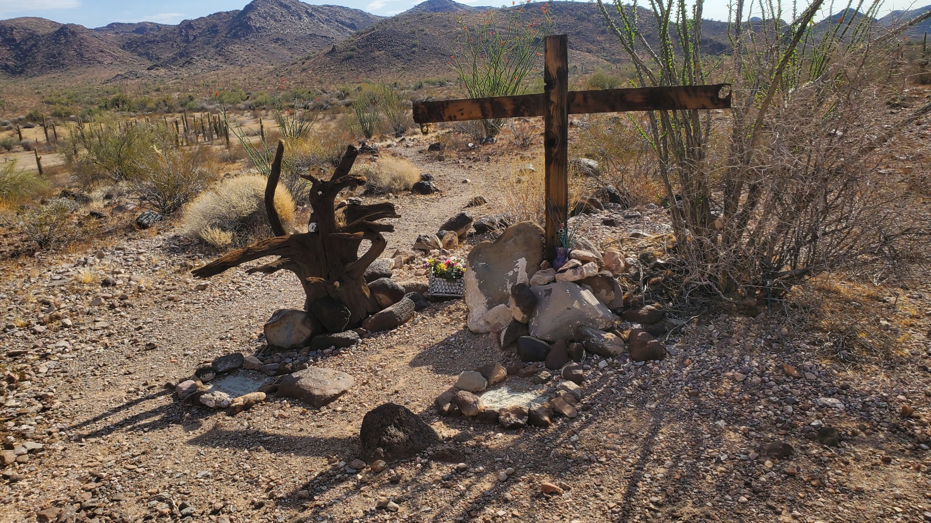
One Ray Hovatter, a World War II veteran who served under General Patton, arrived in this valley and established a homestead in 1951, with his wife Barbara and their three daughters in tow. One of them was critically injured during a propane tank explosion in 1968 and passed away a month and a half later, and Ray passed away in 1974. Ray and his daughter Lindsay are buried in a tiny makeshift cemetery above the homestead; his wife moved with a daughter to Phoenix. In 1976, the property was turned over to Kofa National Wildlife Refuge; Barbara died in 1990 and had her ashes scattered over Ray and Lindsay’s graves. Read more about them at https://azoffroad.net/hovatter-homestead .
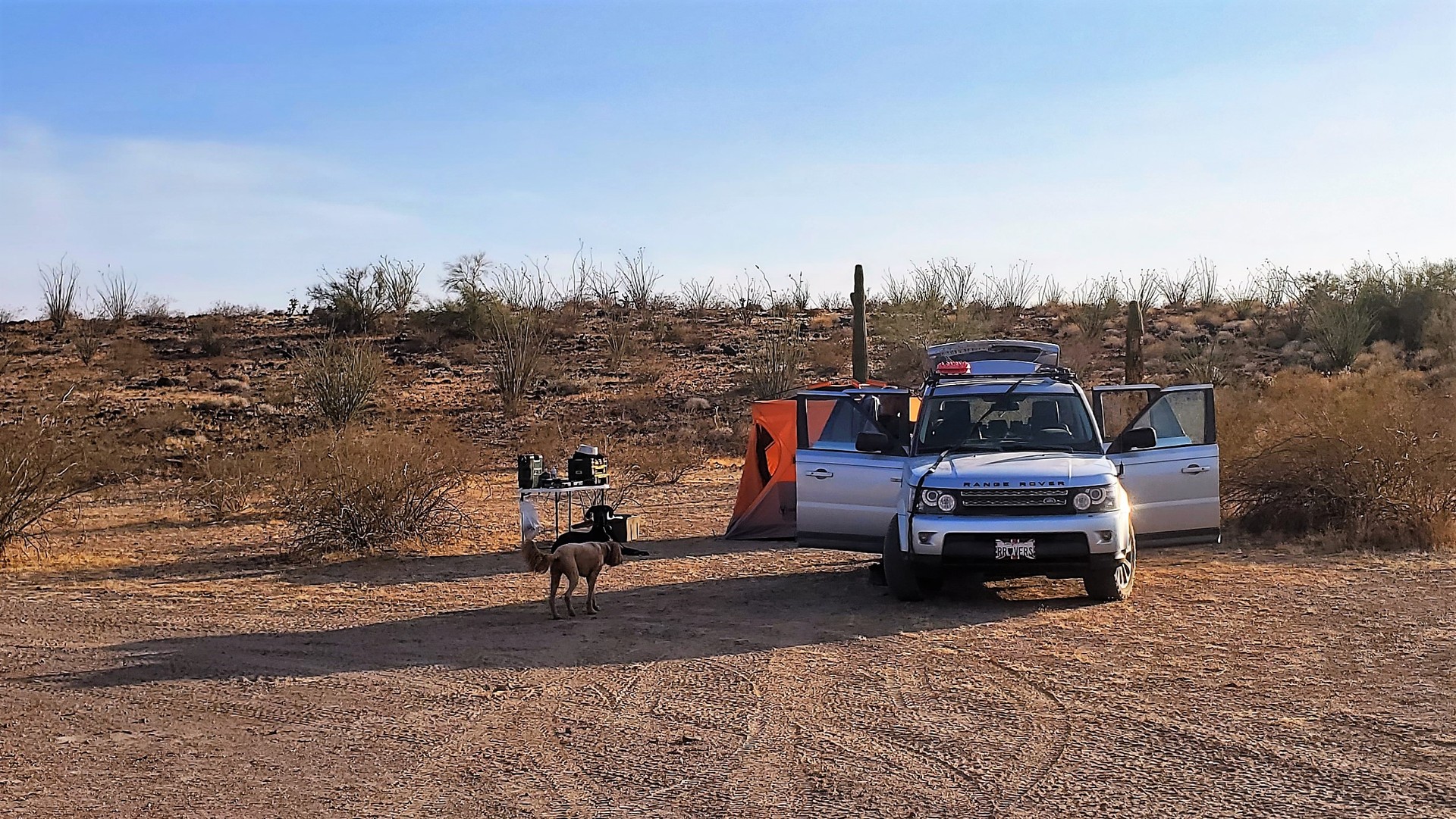
Kofa is known to have some of the most-remote locations in Arizona. Hovatter homestead is about 29 miles away from Interstate 10, and 49 miles – from U.S.95. Neither of these ways is easy – even the short hop to I-10 takes nearly three hours (far more if you pick a wrong route!). It can possibly be reached in a crossover vehicle – but with a healthy supply of spare tires. We’ll learn that tomorrow – but tonight is a great, calm, warm evening.
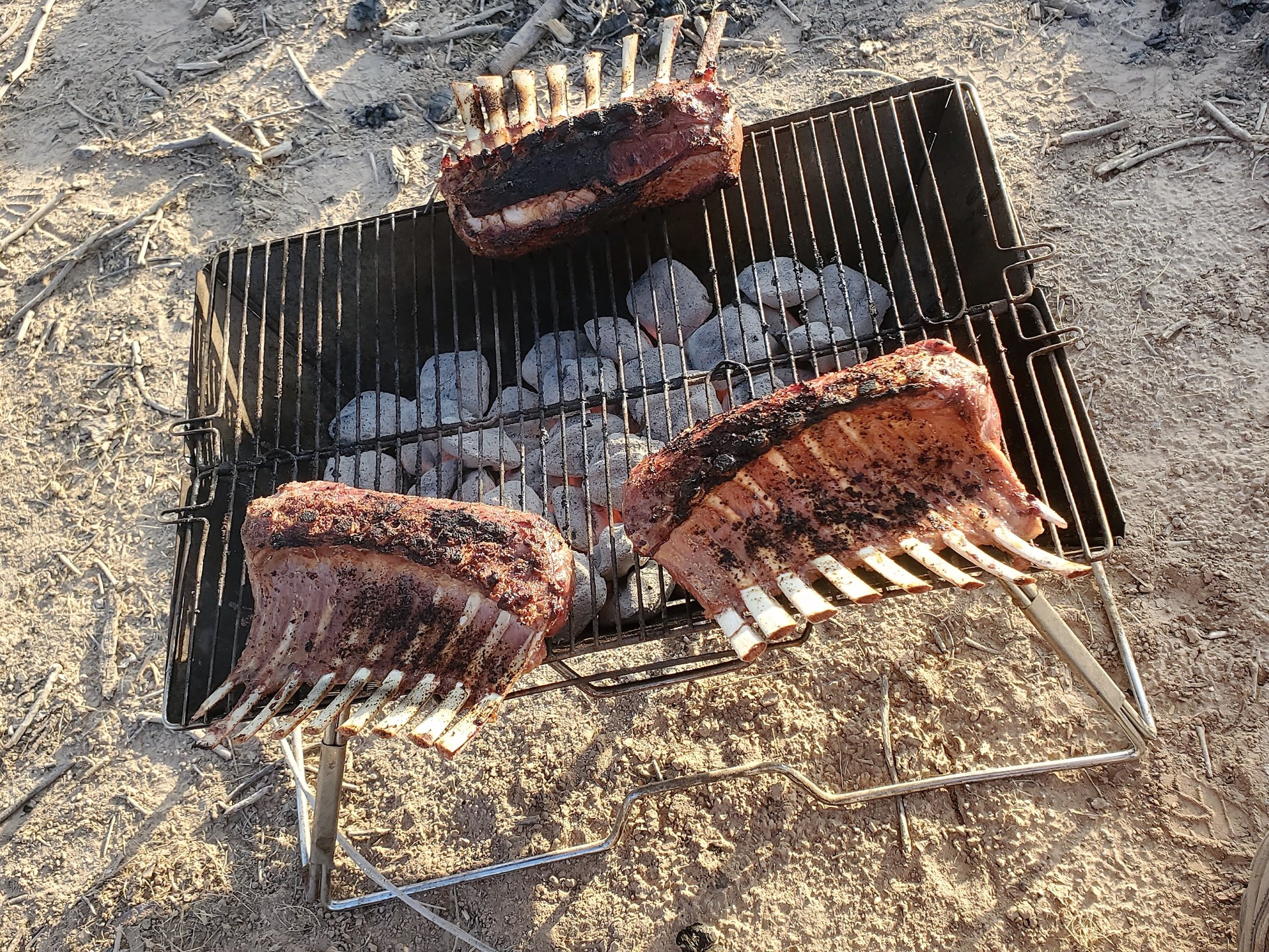
We cook our dinner, including rack of lamb, and wash it down with gin and tonic and whatever whiskey we have left over from the previous evening’s festivities. The dogs hump or attempt to hump each other, until they are confined in the vehicles or tents.
 |
 |
 |
 |
 |
 |
 |
 |
 |
 |
 |
 |
 |
Hovatter Homestead to San Diego
Sunday morning is not a time to hurry, so we don’t. Jules doesn’t really want to get up from his comfortable pad (and my pad as well). We have a large breakfast and lazily pack things away.
 |
 |
We leave Hovatter Homestead at 10 in the morning. The first three miles prove to be somewhat arduous – a lot of crossing of washes, a rock garden here and there. We stop at the fork and take the left turn onto Sheep Tank Mine Road.
 |
 |
After that things change rather quickly. Not even two little rock gardens into it, I hear a muted comment on the radio – “Just lost another tire.” Oh boy…
We spend the next hour looking at the options. The second blown tire on the Defender has about ¾” gash in the sidewall – looking ugly. We opt to borrow a full-size spare from an LR4 and proceed quickly lifting up the corner of the Defender with a Grenadier bottle jack, digging up the rocks from underneath the tire, and mounting the LR4 tire in place. What of the ~2” difference in diameter? Shouldn’t be a problem.
Photos by Tim Black: | ||
 |
 |
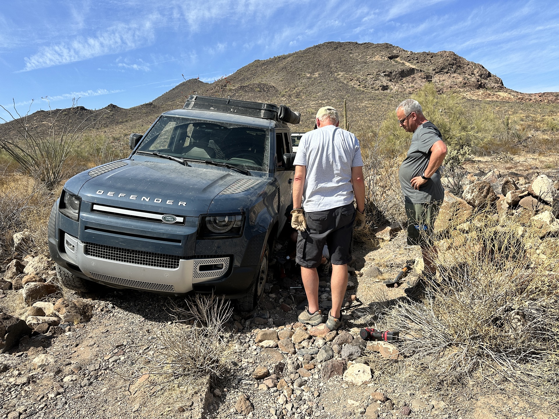 |
I believe it was Tim who spotted the “not-in-a-hurry-obvious”: the LR4 tire, besides being smaller, has a different wheel offset – and grinds against the giant brake caliper of the Defender. Off it goes; the next option is the LR4’s factory donut spare – I don’t know the size, but it clears the brakes miraculously. It does look pretty dinky compared to the rest of the Defender’s rubber. Sometime in the middle of tire swapping process, we pause to jam three plugs, liberally coated with rubber glue, into the sidewall gash of the last proper Defender tire – we don’t expect miracles, but maybe it’ll hold air.
But now we really have to walk on the eggshells with our driving. Our ~8 miles an hour pace becomes more like 4-5, and we have to stop to remove all sharp rocks that might be on the path of that thin and narrow tire.
The sun comes up in earnest, and it is getting hot. I have to remind me to down a bottle of Gatorade here and there, but I definitely feel dehydrated. Others do, too – including canines. Jules just about finishes off my water – we started with about five gallons for two days.
We stop halfway up to make sure we’re on the right – and shortest – road to pavement; all sources agree.
Guess what… As we get closer to the pass, we come upon a very, very beefy, and very locked, gate. The lock is well protected in a welded-steel pocket. I volunteer to drive around the gate (on a pile of loose pumice rock), and check what’s in the store for us should we continue.
Oh boy… I had to stop myself from continuing up the path – that after a quarter of a mile became narrow, badly overgrown with thorny bushes, and covered with sharp-edged, football-sized rocks.
It is almost a hard no for me in my truck, and without any doubt a no for the wounded Defender. I tear off two mudflaps and slightly bend rear bumper just making my way out. Then, it takes us about 20 minutes simply to turn around on the narrow shelf trail.
Somewhat defeated, we work our way down to that fork – close to two miles. We move significantly slower than a walking pace, yet – out of the blue, I hear a dreaded “Pffftttt” from that spare. It blew a crack in the sidewall without hitting anything – probably, just from overloading. Now what?
After some discussion, Steve checks the air pressure in the tire with the plugs sticking out of its sidewall – and discovers that it seems to hold air! Back it goes into its original spot – despite our dislike for questionable tires mounted on the left front corner.
We retrace our steps to the fork in the road and turn left – towards Hovatter Homestead Road. A couple of miles pass in near silence until we reach the stretch of the road serviced by the mining company nearby – oh how nice, flat, and wide it is! Our pace quickens to 15, then to 25, miles an hour. A few 90-degree turns, and we are on pavement – at a gas station on Interstate 10.
|
|
After a very short joke of a lunch (it’s 4pm already), we relocate the wounded tire to the rear of the Defender, move the good one to the front, and hit the road. We have about 270 miles to cover to get home – using Interstate 10 for about 40 miles, then California SR 78 through Palo Verde and sand dunes of Glamis, then jump on Interstate 8 and make our way across multiple mountain passes.
Along the way, we battle a strong and gusty wind from south-west. Once we reach the altitude of 4000 feet, we roll into low clouds – with barely 200-foot visibility and rain. The traffic slows to a 20-mph crawl with blinkers and fog lights on and only lets up already on the descent towards El Cajon.
I have to stop in Alpine to let Jules on a short walk, and top off the fuel.
We made it home. That tire with three plugs in the sidewall carried on for over 300 miles. What a day out of what was billed as an “easy” off-road excursion.
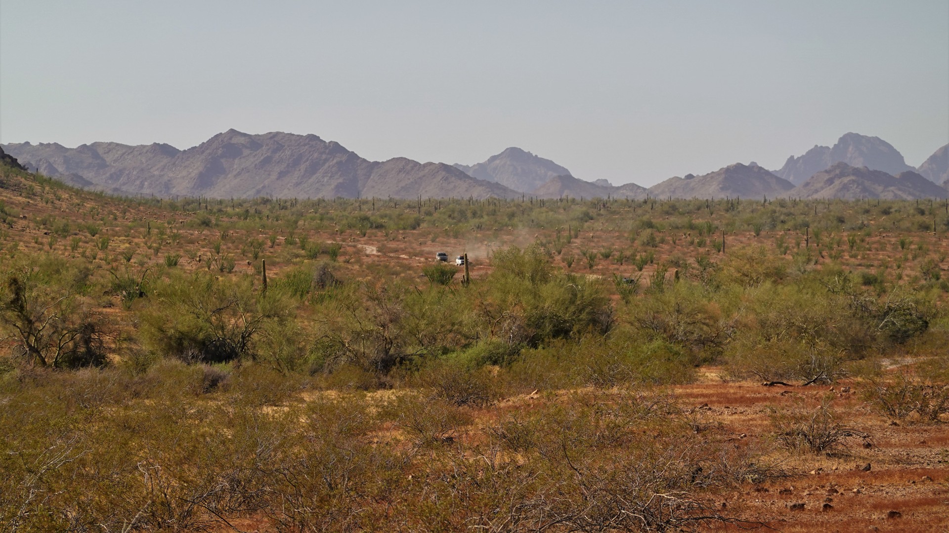
Oh yes, something else deserving a mention. Before the trip, we’ve been warned that the Refuge was inundated with campers. In about 118 miles on dirt, we met a small group of side-by-sides close to Castle Dome, two 4x4s parked discreetly near King Road, and one bicyclist. This tally makes Kofa National Wildlife Refuge by far the most remote destination short of Owyhee Wilderness – far more so than Death Valley or even El Camino Del Diablo.
Photo by Tim Black: |
 |